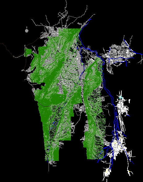
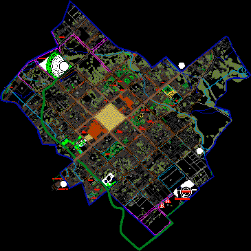
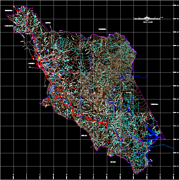
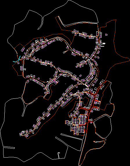
Tunja map with contour lines

Map of Tunja with contour lines taken from Agustin Codazzi in 2006
- Format DWG
- File size 94.22 MB
Related Posts
.png)
Pedestrian bridge attached to the bridge over the airport vial
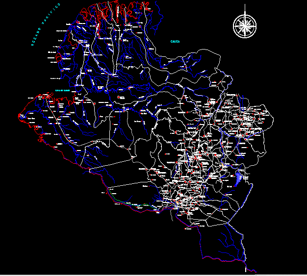
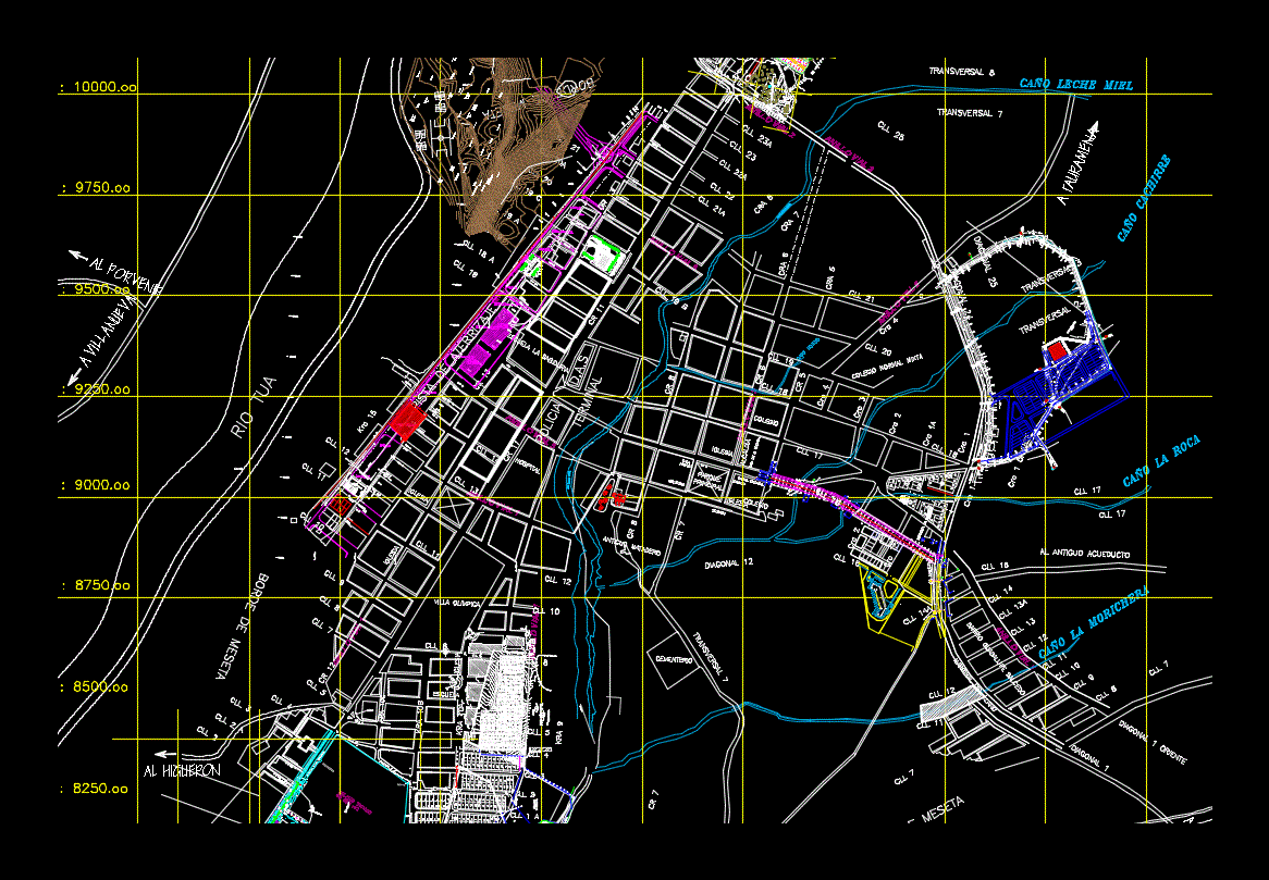
narino department
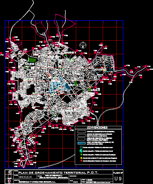
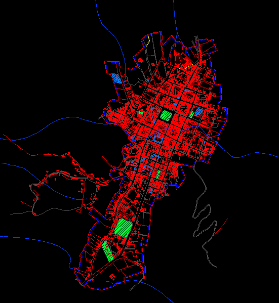
Institutional urban development area plan (education)
.png)
Grass plane; Colombia
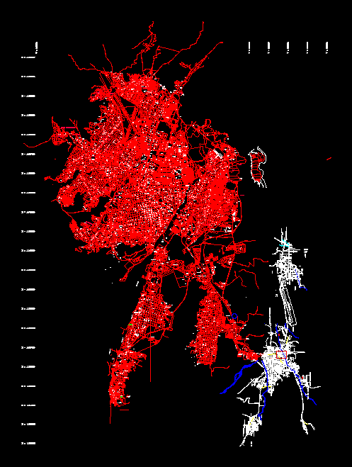
cucuta urban map

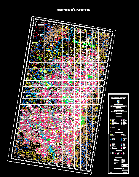
Medellin map; Colombia
Villa de Leyva map
Map of cucuta colombia and san antonio venezuela
popayan map
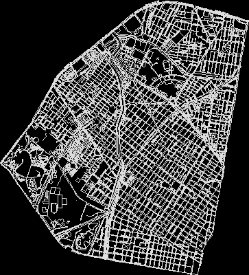
Map of Bogota Colombia
.png)
Map of Barranquilla Colombia
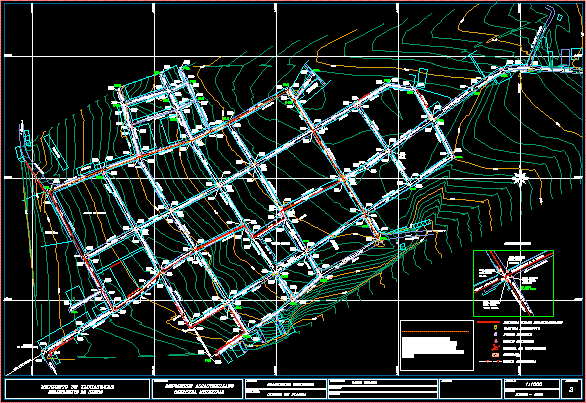
Yacuanquer sewer replacement
Map of Monterrey Casanare
Yacuanquer – narino – Colombia
Municipality of Toledo Base – Norte de Santander
quibdo plane
Town united neighborhoods of Bogota - Colombia
.png)
bello township
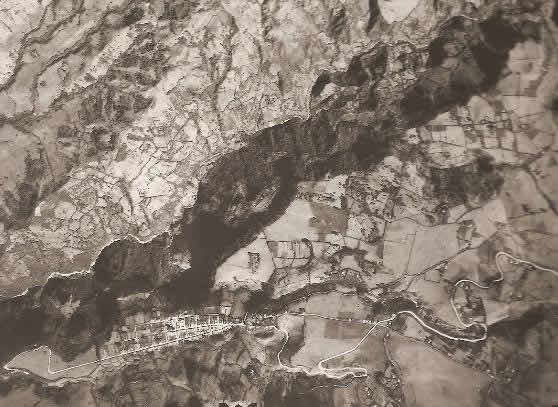
Aerial photography – purace – right