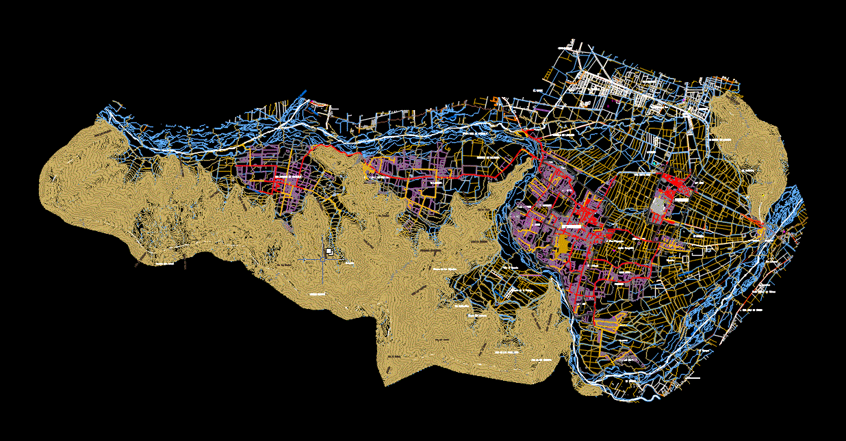
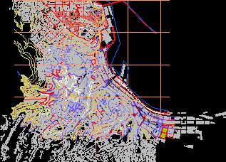
topographic map of the andes

topographic map of the andes
- Format DWG
- File size 3.38 MB
Related Posts
ucn title project - recovery of pedestrian promenade and el cable beach
Santiago downtown apples; chili
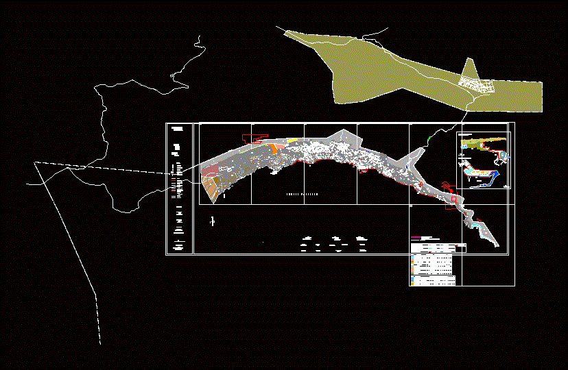
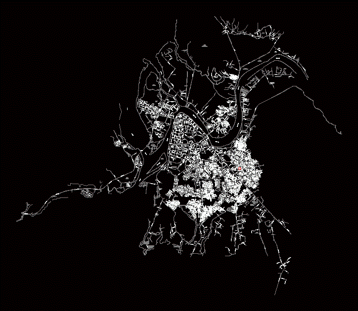
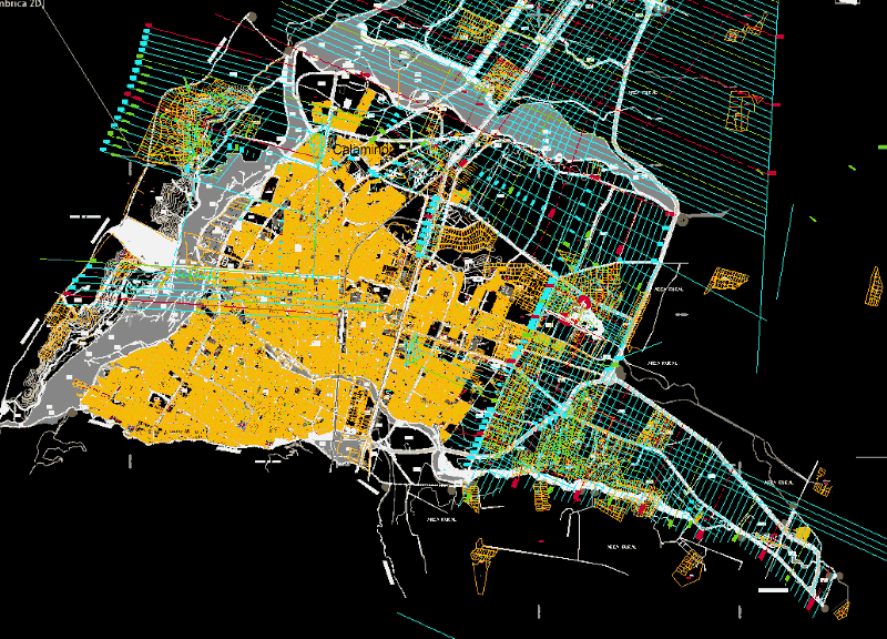
Regulator plane calama 1990
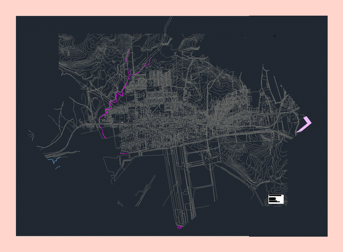
valdivia map
Hualane plane; chili

Cautin Island Park, Chile
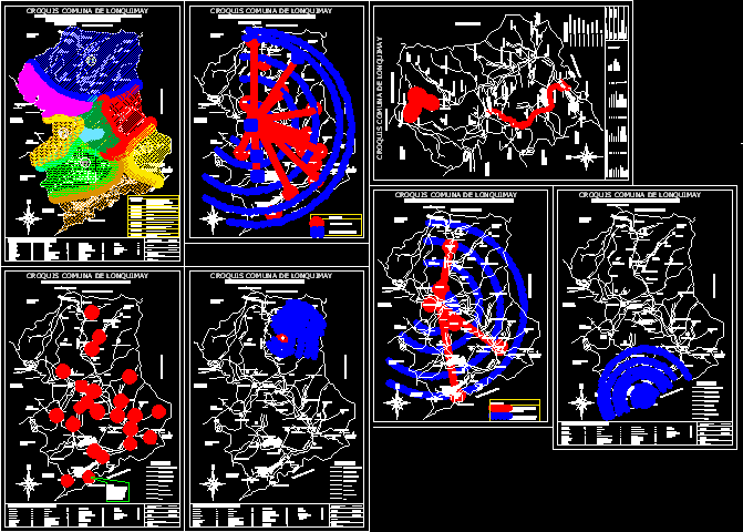
Lonquimay – planes – chile
Arica urban plan
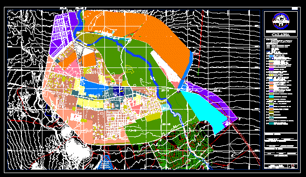
Osorno map
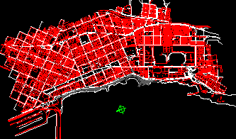
Santiago regulatory plan; chile and properties
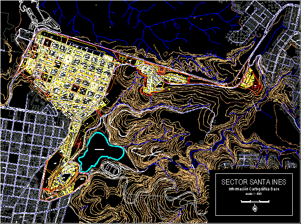
Cartographic information of Santa Ines; Viña del Mar
Commune of olmue fifth region
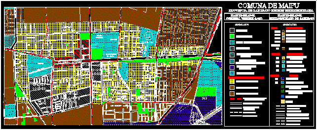
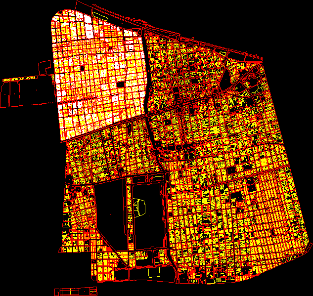
Land use plan of the historic center of Maipu; Santiago.
Central Highway; Santiago; chili
Maipo island map
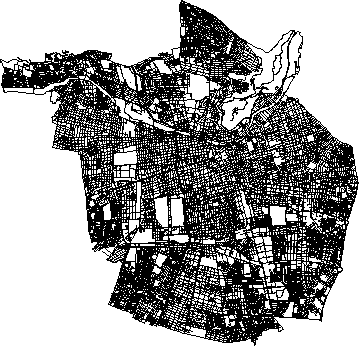
Sectional bank north concepcion
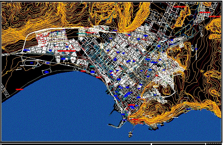
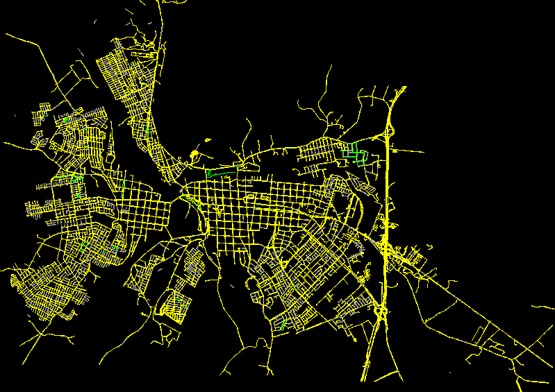
Valparaiso
Prc talca 2011
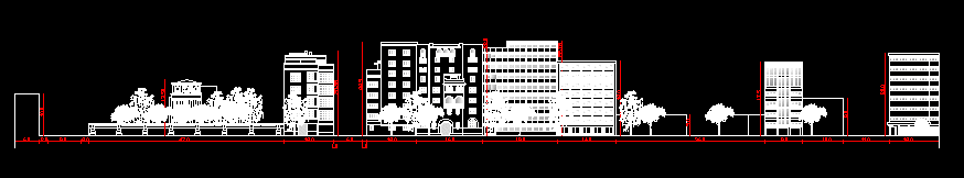
merced street elevation