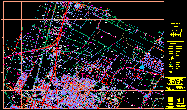
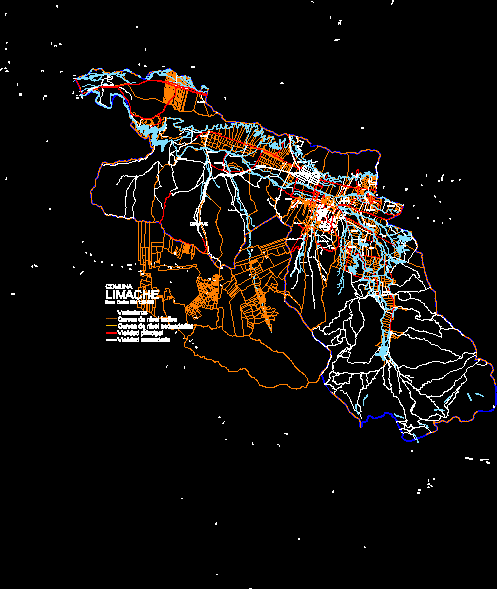
Lonquimay – planes – chile

Community map - lonquimay - maps - chile
- Format DWG
- File size 1.12 MB
Related Posts
streets of the counts
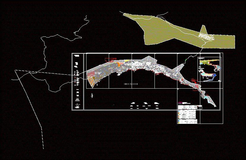
Coastal edge sector map cartagena-v region
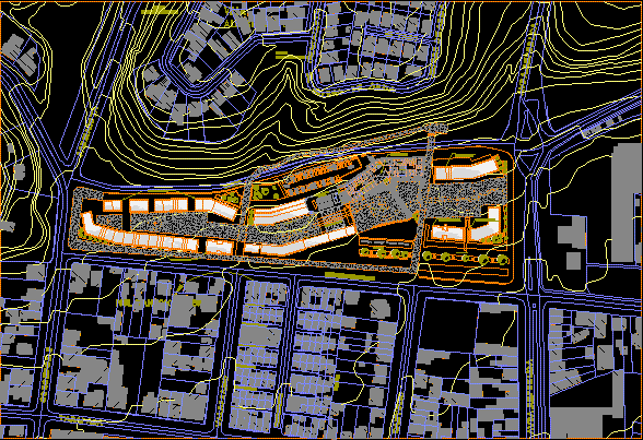
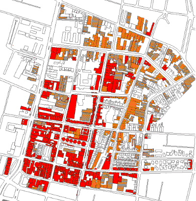
Civic center plus town hall
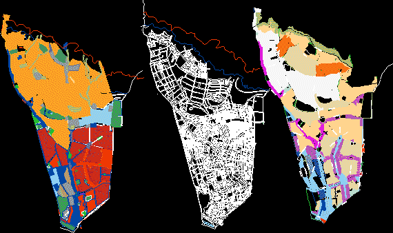
Board of Trustees – analysis by bmp layers
sewell camp general plan
estuary marl marl
Typical areas of Valparaiso
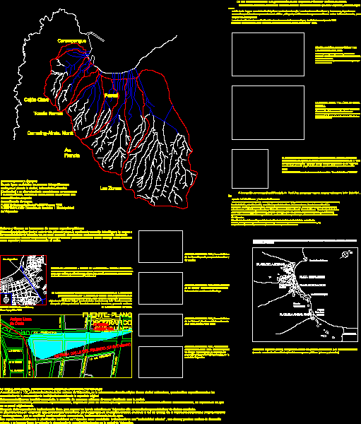
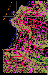
Hydrographic map of Valparaiso
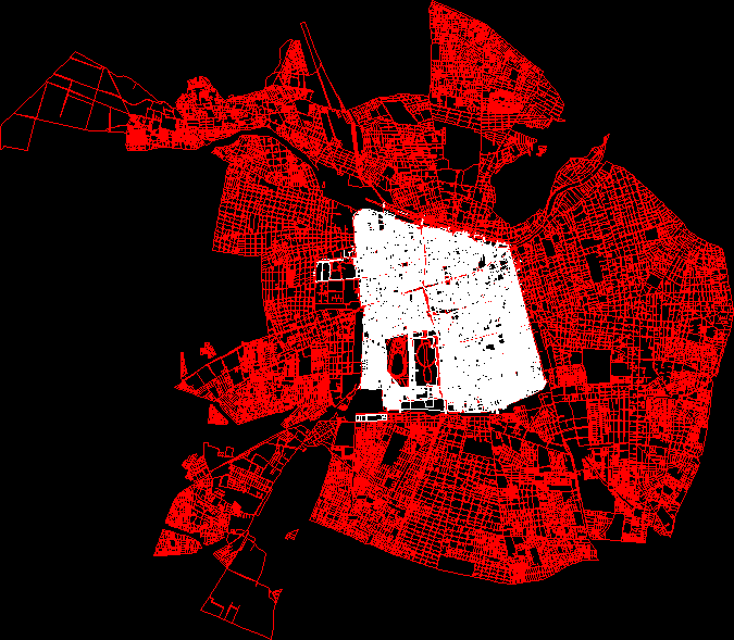
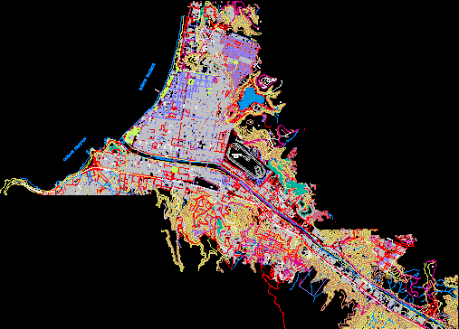
Full map of Santiago de Chile
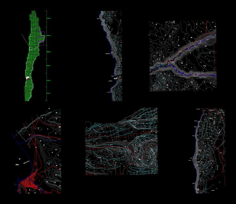
Topographic Chile

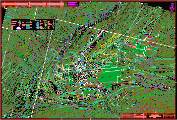
Cautin Island Park, Chile
Cartography of the Cerro Alvarado sector; commune of the barnechea; santiago chile
urban plans
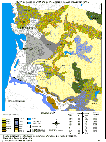
San Antonio map – soil chart
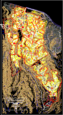
Forest cartographic information; Viña del Mar
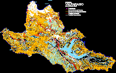
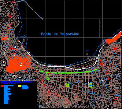
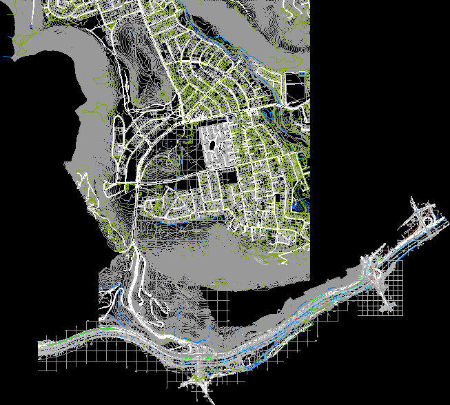
Valparaiso commune map
filet plane
regulatory plane
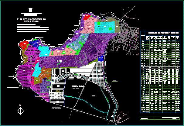
Regulatory plan of with - with of the fifth region