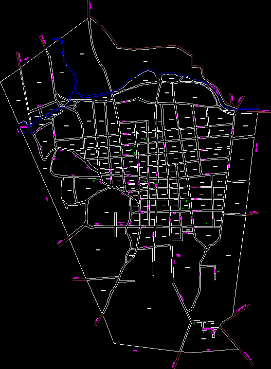
road corridors; pachuca de soto hidalgo

Inventories in road corridors; pachuca de soto hidalgo
- Format DWG
- File size 7.36 MB
Related Posts
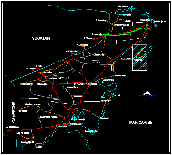
State of Quintana Roo; Mexico
.png)
Veracruz state map

Map of Monterrey and its metropolitan area
Coyoacan Delegational Program - Mexico
.png)
Federal District – Mexico City
Atlacomulco
.png)
Map of the tlalpan delegation; Mexico. df
urban map leon de los aldama
Urban development plan of the Alvaro Obreggon delegation
omiltemi infrastructure plan; warrior;
.png)
subdivision subdivision
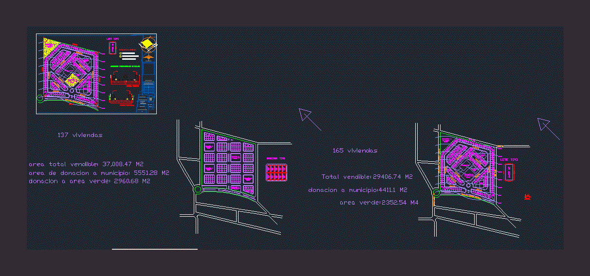
Lotification of a subdivision
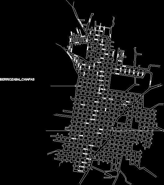
Berriozabal plane; chiapas, mexico
Map of the city of Chetumal Quintana Roo
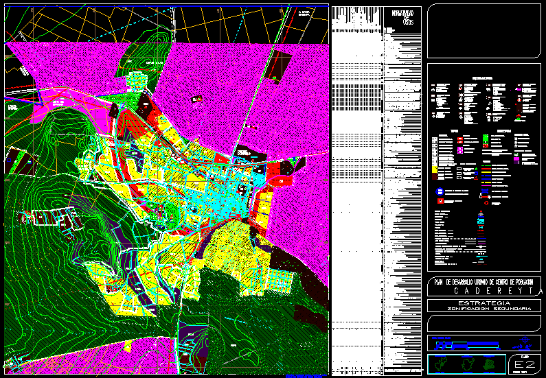
Planimetry of the municipality of Cadereyta de Montes
angangueo
Map of the municipality of Santa Ana Atzacan Veracruz
Fractionation of sustainable social interest for 5 thousand people

common area skp