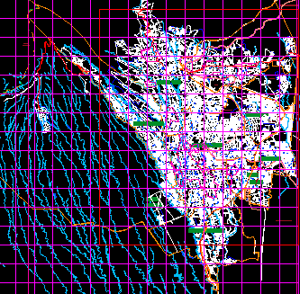
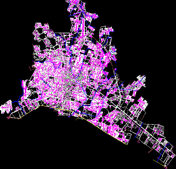
Planimetry of the municipality of Cadereyta de Montes

Planimetry of the municipality of cadereyta; state of queretaro - mexico
- Format DWG
- File size 2.22 MB
Related Posts
Part of the Coyoacan area
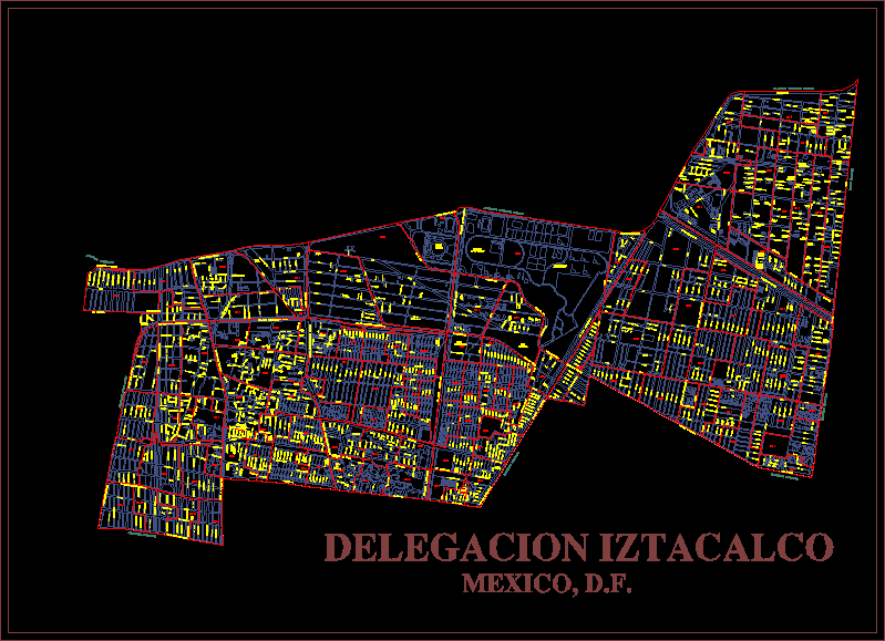
Iztacalco mexico district map; df
Updated map of Cordoba Veracruz
Land subdivision plan
Horizontal signaling vm <60 mexico
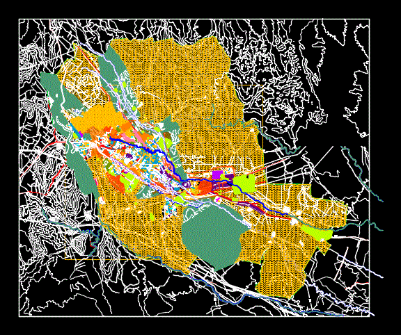
zoning df
Tamaulipas State; Mexico
.png)
Cuacthemoc delegation
urban map leon de los aldama
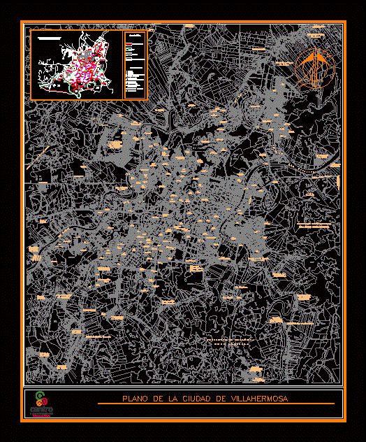
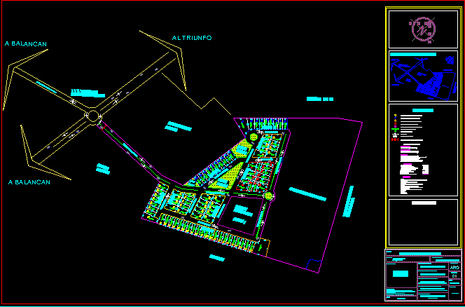
Planimetry villa hermosa tabasco
Plaza del Sol topographic

Plan of the city of Autlán
sketch of xalapa
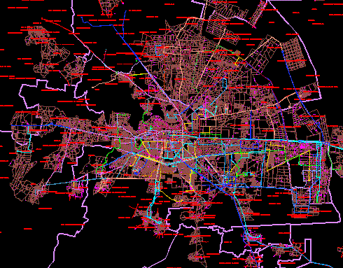
Map cd.de toluca; edo. from Mexico
Catholic temple
Departments
cartography leon guanajuato; Mexico
Regulatory system of urban equipment
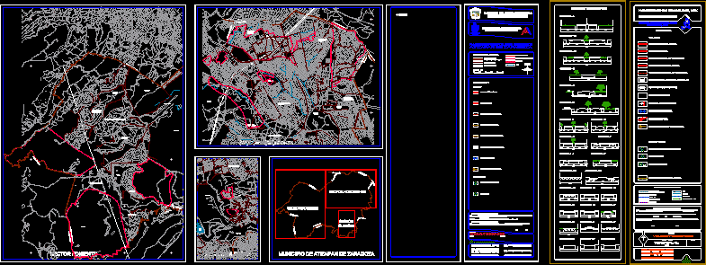
Atizapan Road in Zaragoza Edo Mex