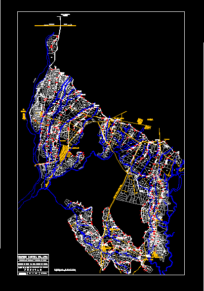
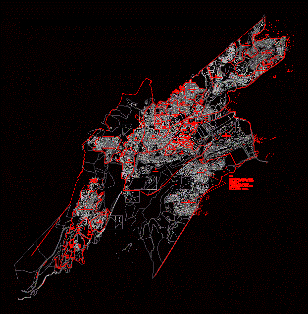
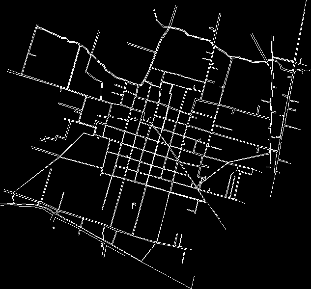
Zacatlán; puebla

Contains the distribution of the streets and topography of the city of Zacatlan; puebla
- Format DWG
- File size 5.46 MB
Related Posts
Part of the Coyoacan area
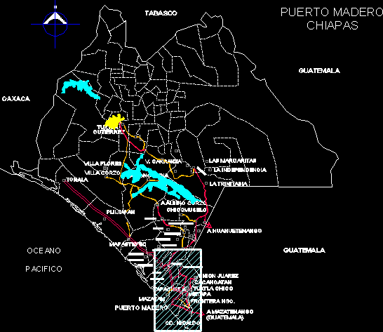
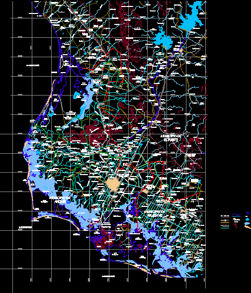
chiapas state
Emiliano Zapata Municipality Plano
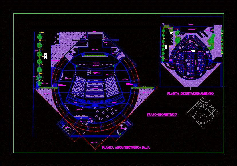
auditorium square

Toluca urban development plan.
Map of the city of Carmen Campeche

3d stadium for 3000 people
Municipality of Ahome Sinaloa Mexico
Plan of the city of fortin de las flores; veracruz; Mexico

Federal District
Veracruz city map mexico
Division
Irrigation district no. 053 – state of hill
Flat rich pool; veracruz.
Tepic – Nayarit – Mexico urban development plan
San Felipe; urban letter
Cadastral map of the Cuajimalpa district
Municipality of San Antonino Castillo de Velasco
.png)