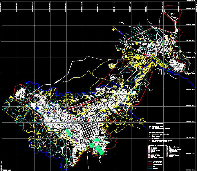
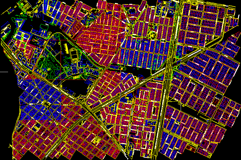
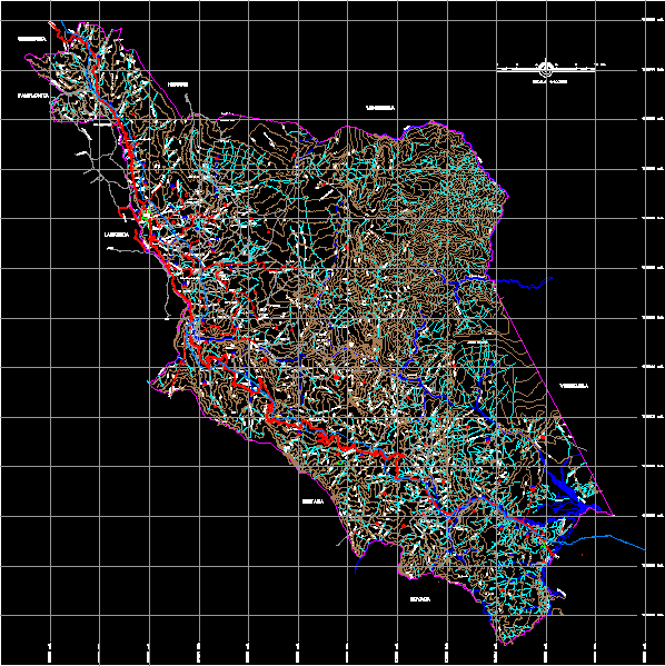
trunk of cesar

Main road and access to it and municipality in the department of Cesar/Colombia
- Format DWG
- File size 1.76 MB
Related Posts
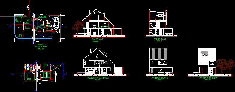
Chalets
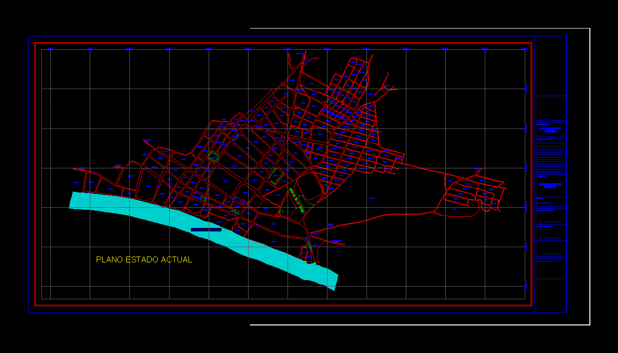
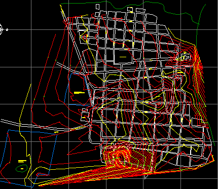
General plan of Santa Ana Magdalena

Political map of Caqueta- Colombia
Map of monteria country colombia

Divided city

Plan of Antonio de Narino – Colombia
Military school map
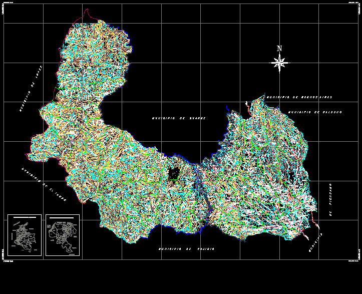
Cordoba municipality map; bolivar
Alderman municipality map; bolivar
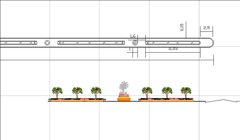
Boulevard
map of morales cauca

City of martyrs – Colombia

Puerto boyaca urban base – boyaca paragraph
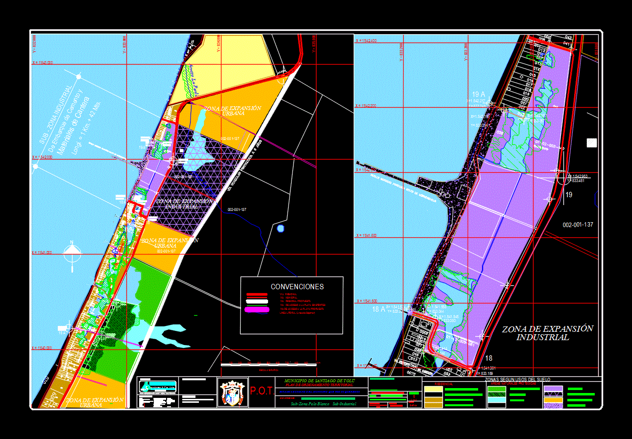
Gulf of Morrosquillo Port Company
.png)
Public space recovery av libertadores
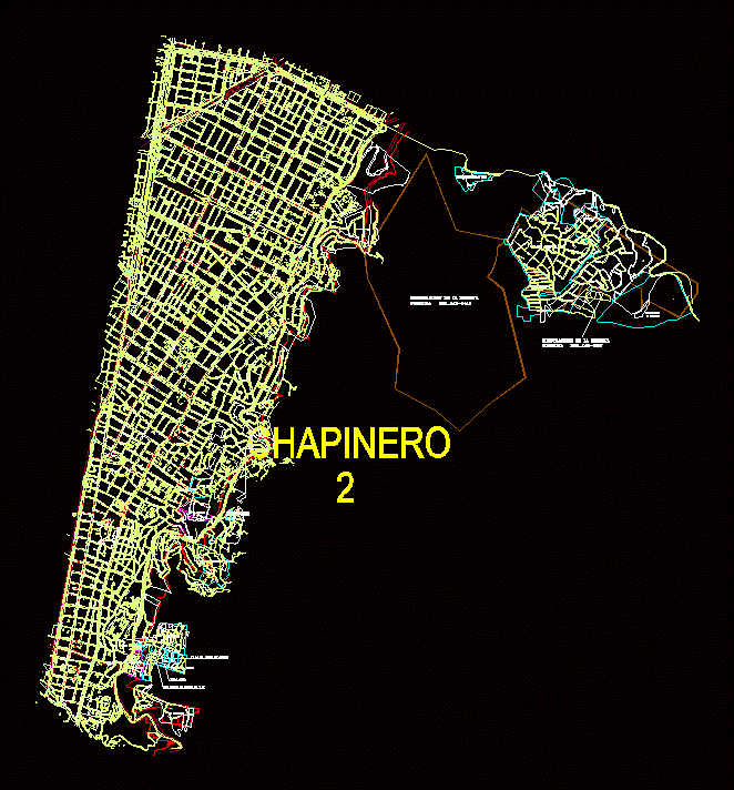
town chapinero
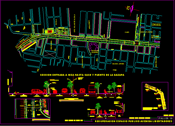
Recovery of public space av libertadores - cucuta
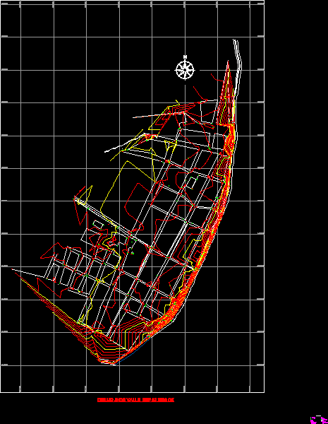
Municipality of Toledo Base – Norte de Santander
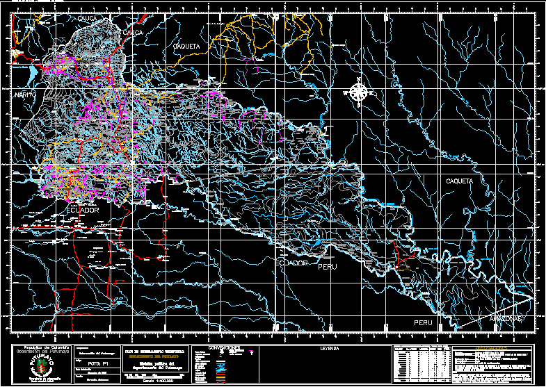
Political division putumayo department