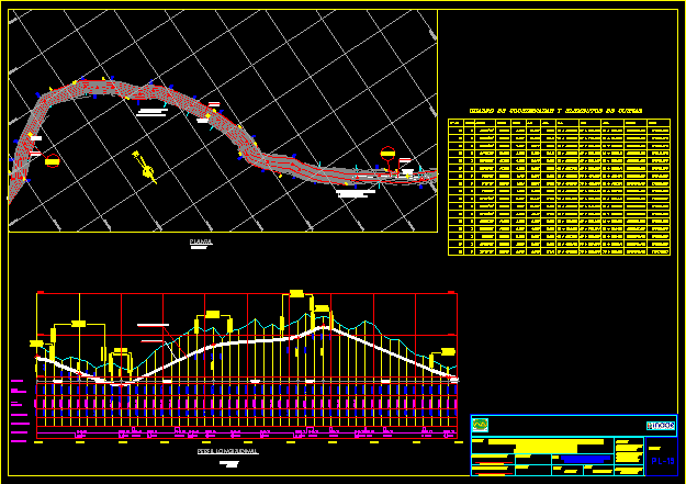
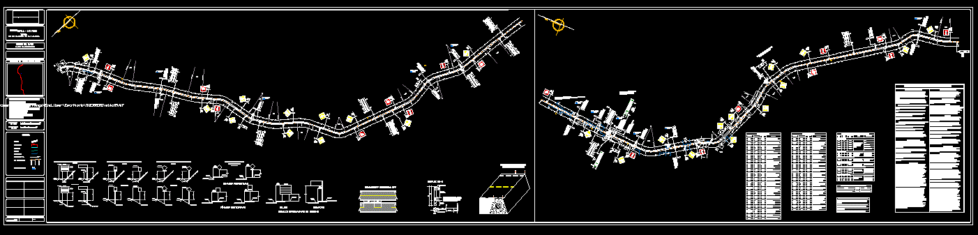
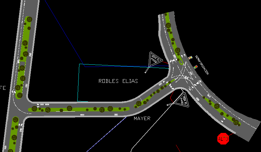
Road topographic plan

Topographic plan and contour lines of a rural road - axis construction table.
- Format DWG
- File size 2.70 MB
Related Posts

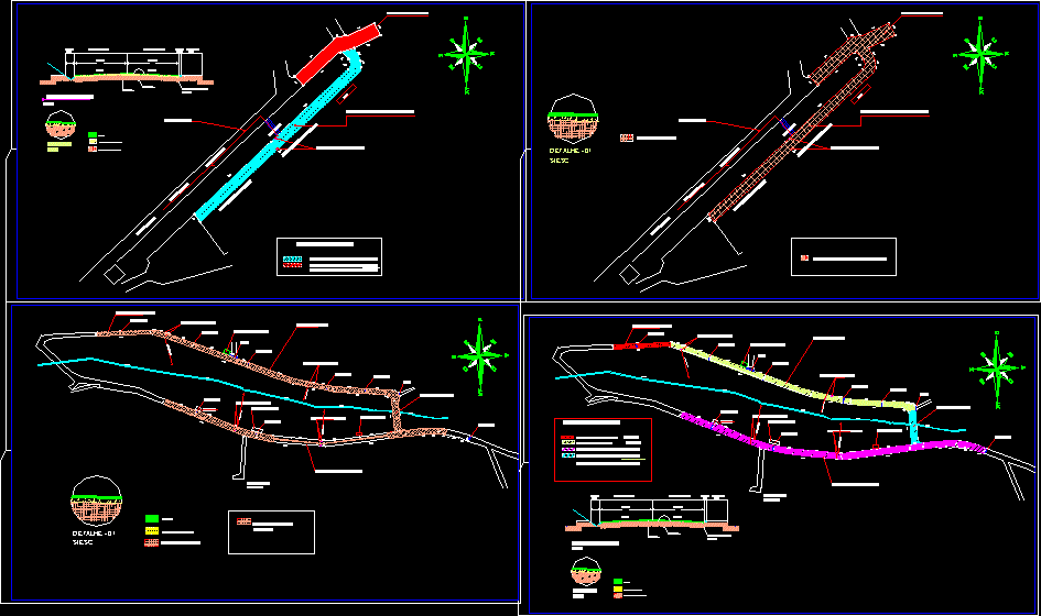
South road connection of Guayaquil with km26
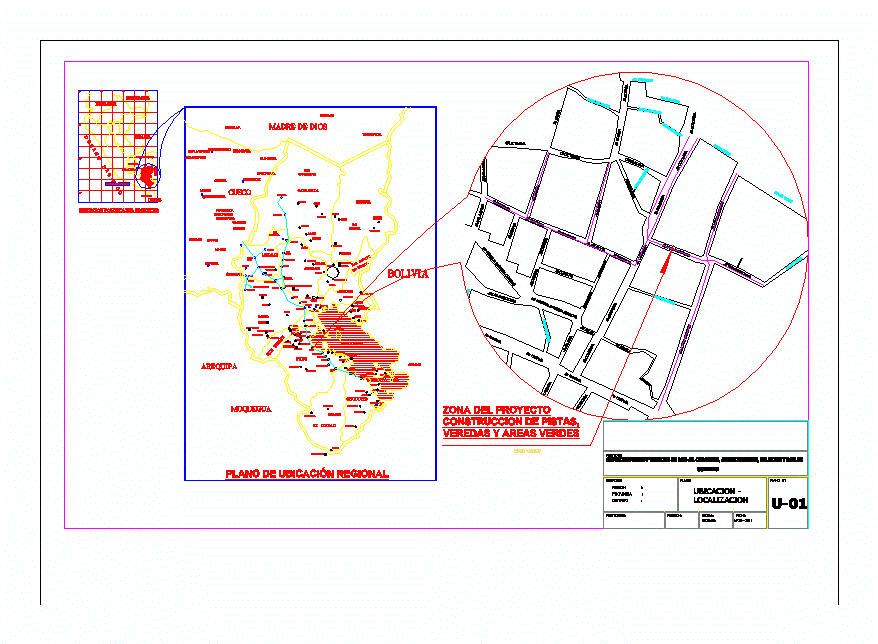
Location map; paving of streets and sidewalks
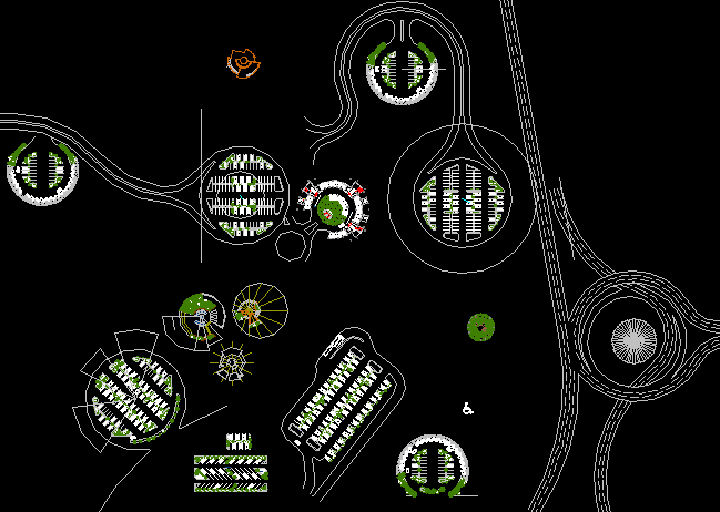
Different types of parking – car parking
tarata avenue
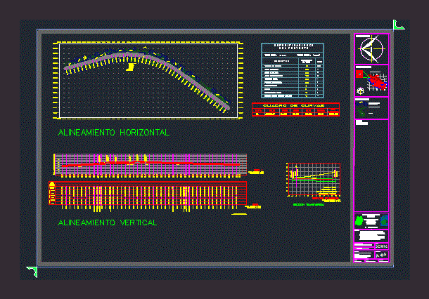
horizontal curve
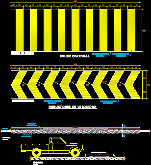
speed reducer design

Plan of cobbled street pavements
fingerprint plate

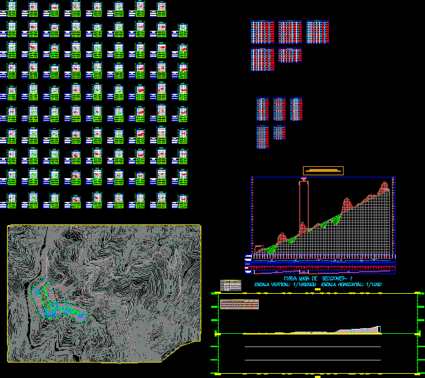
Main road cut
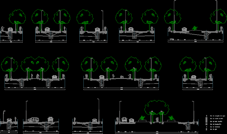
Study of track sections
highway project

Plan of pavements and total floors
road sign
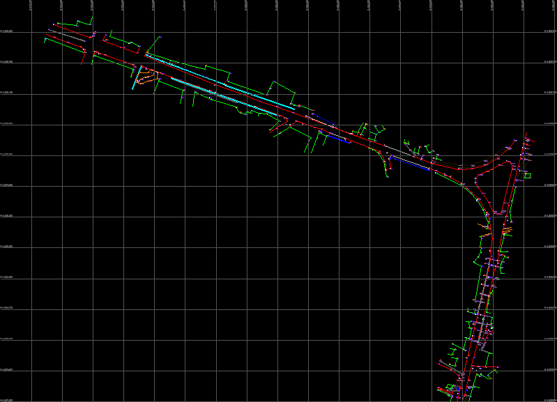
Planimetric survey of fermin toro avenue
curve junction
Asphalt paving details
.png)
Turning radius of conventional vehicle

Land use of harar ldp; road network and regulation
road layout