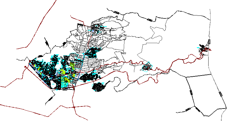
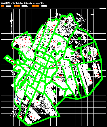
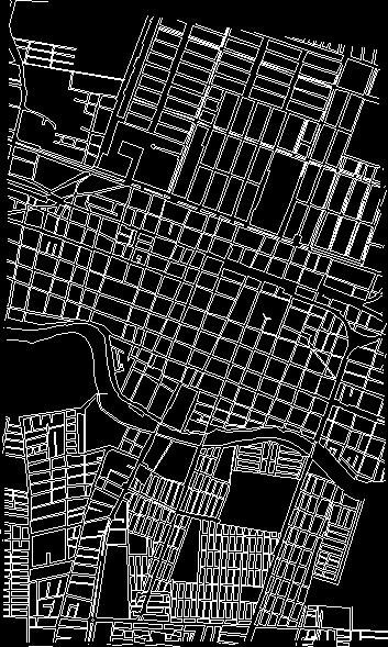
Topographic map of the cd. from teloloapan

Topographic map of the city of teleloapan in guerrero mexico.
- Format DWG
- File size 185.50 KB
Related Posts
Urban development plan for the population center of Jesus Maria; jalisco; Mexico
Tepic – Nayarit – Mexico urban development plan
Map of the municipality of ixtapaluca; Mexico state.
downtown monterey
Pachuca de soto; gentleman
.png)
Cadastral delegation alvaro obregon
Map of the city of Saltillo; Coahuila; Mexico.
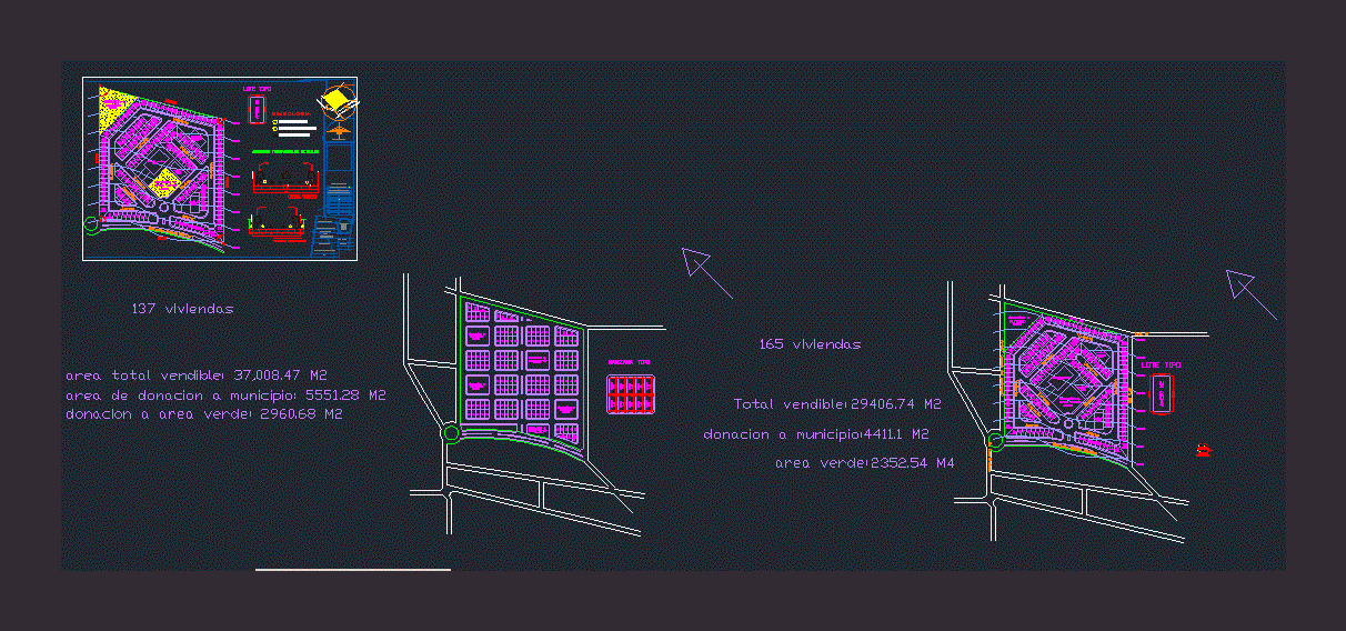
Land subdivision sheet

3d stadium for 3000 people
pachuca map
Magdalena Contreras Df Delegation
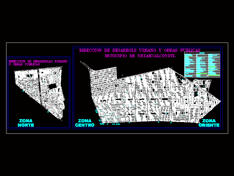
Map of the municipality of Nezahualcoyotl
Apatzingan Michoacan – Mexico
Mexico; lion guanajuato
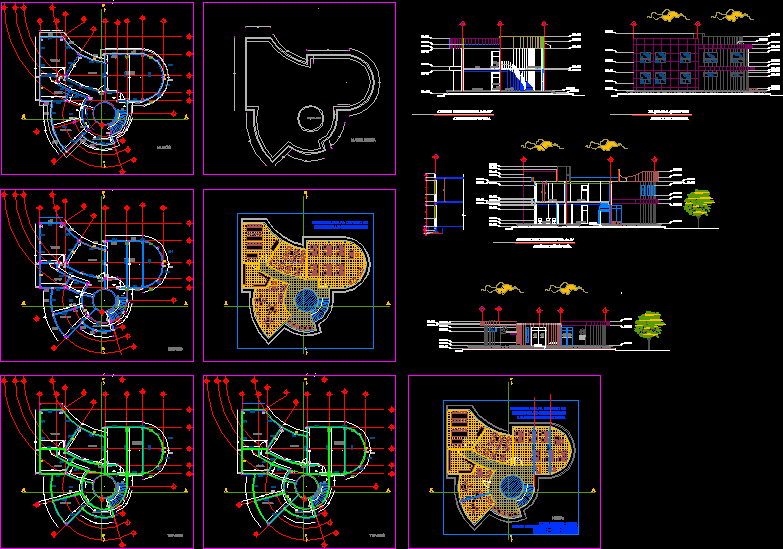
community development center
Plan of the city of fortin de las flores; veracruz; Mexico
san martin texmelucan
Magdalena Contreras Pat urban development plan
Chetumal; Quintana Roo