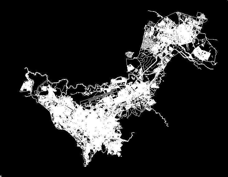
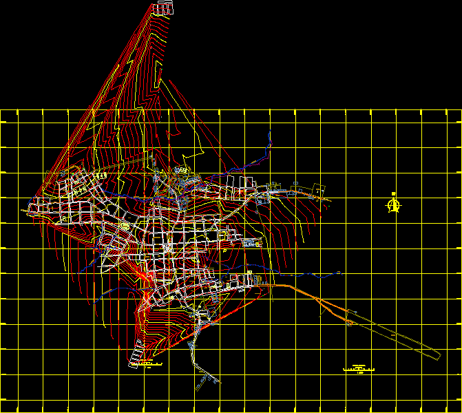
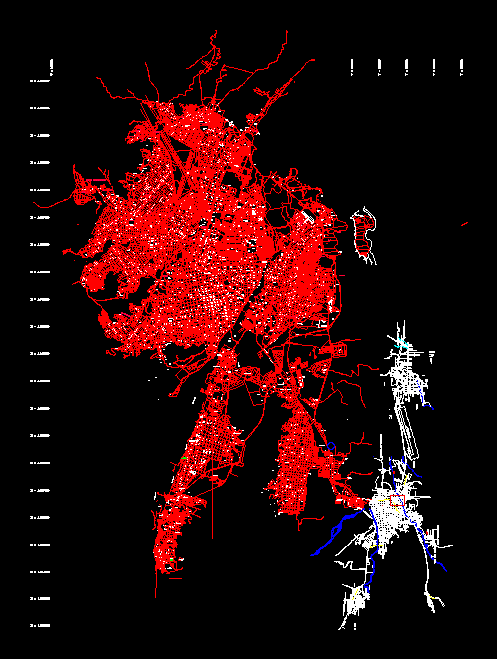
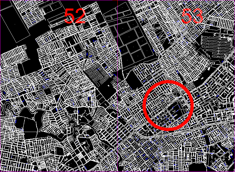
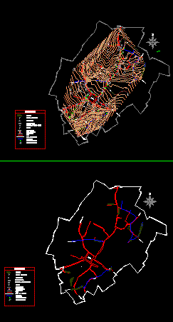
Map of Santa Marta
-0x0.png "Map of Santa Marta 2")
Base map of Santa Marta
- Format DWG
- File size 1.59 MB
Related Posts
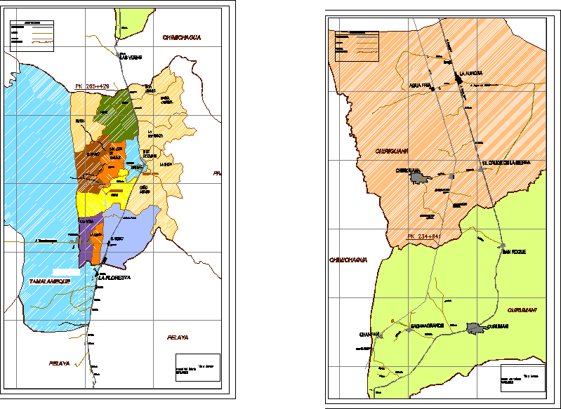
trunk of cesar
Map of the city of zipaquira
.png)
Public space recovery av libertadores
.png)
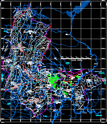
Structural plans Dam in Cesar, Colombia
iron manizales 23
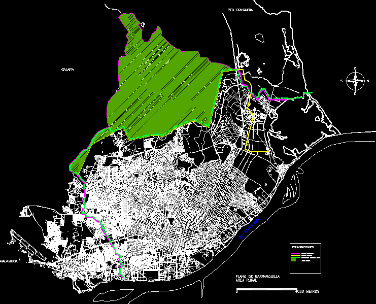
Barranquilla map 2
map of bogota
Fusagasuga zoning rural land use pot
Bogota – Colombia road plans (historical evolution)
Turbana municipality map; bolivar colombia
San Pablo municipality map; bolivar
muzu neighborhood
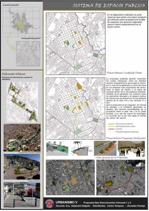
Description of structuring systems
Santa Rosa del Sur municipality map; bolivar
Map of cucuta colombia and san antonio venezuela
land kenedy bogota colombia

Medellin Colombia

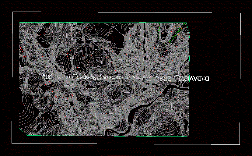
Partial plan
cabrera plane