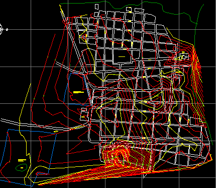
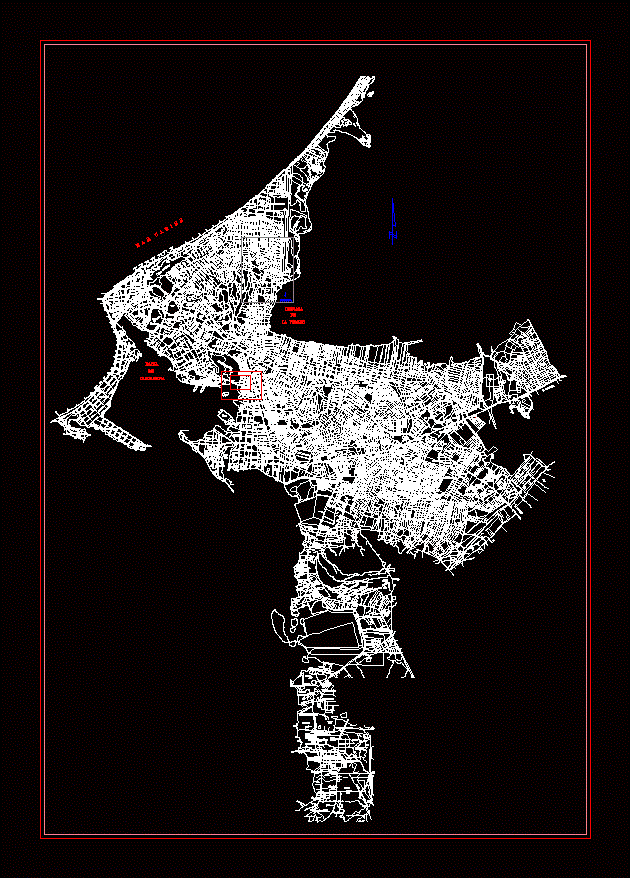
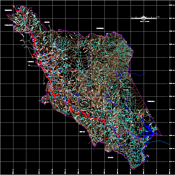
Map of Monterrey Casanare

Contains the streets and the urban area of the municipality
- Format DWG
- File size 6.31 MB
Related Posts
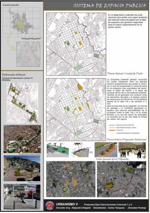
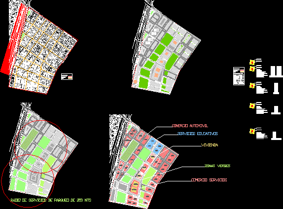
Description of structuring systems
Planimetry of the Azufral volcano sector - Tuquerres
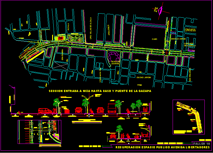
Recovery of public space av libertadores - cucuta
Cartagena de Indias
El penon municipality map; bolivar
Urban reform project b united sector 13 bogota

Central Bosa and Western Bosa

Divided city
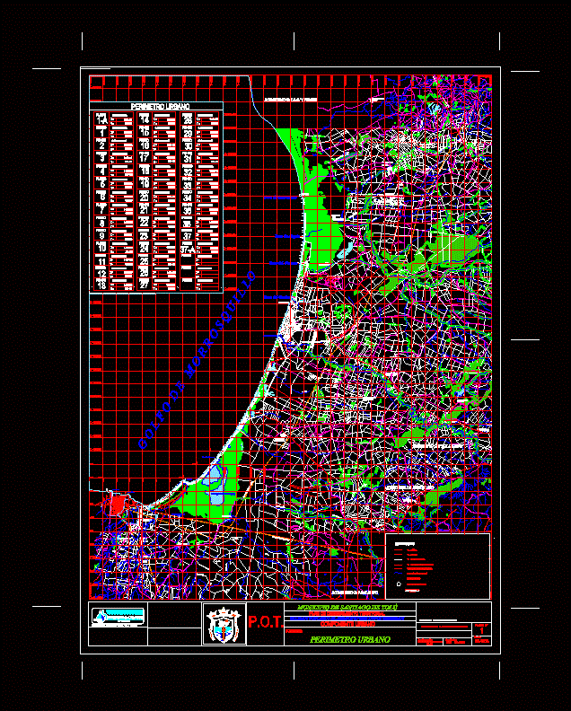
Tolu - Sucre urban perimeter
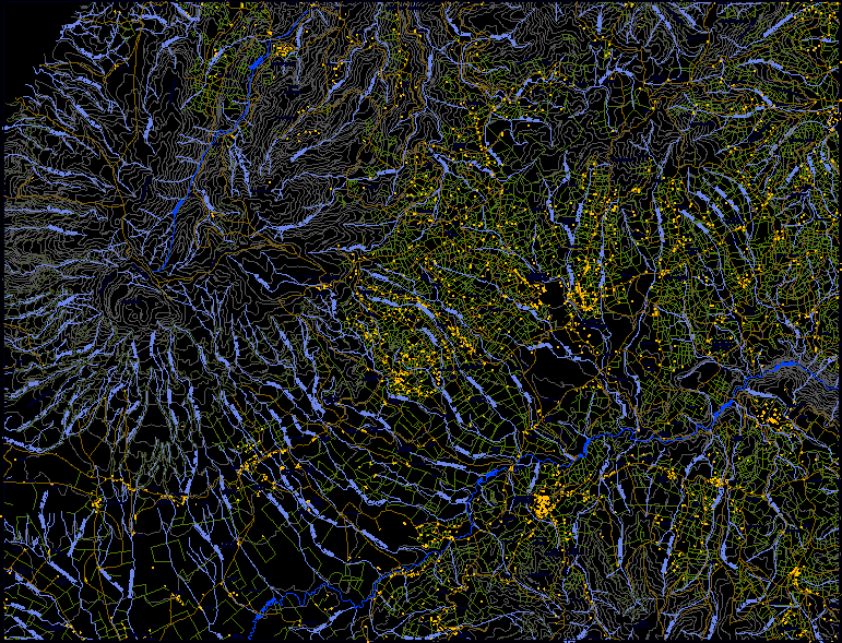
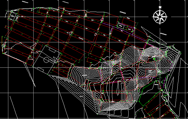
height cartography

Proa 94 magazine – promotion of affordable housing – November 1955
San Jacinto del Cauca municipality map; bolivar
Urban san gil map
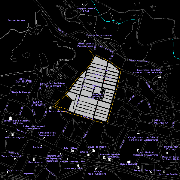
neighborhood perseverance
.png)
Pedestrian bridge attached to the bridge over the airport vial
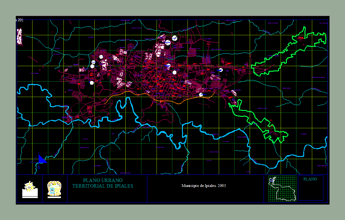
ipial plane
Bogota map
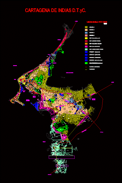
Demographic map Cartagena de Indias Colombia
Municipality of Toledo Base – Norte de Santander