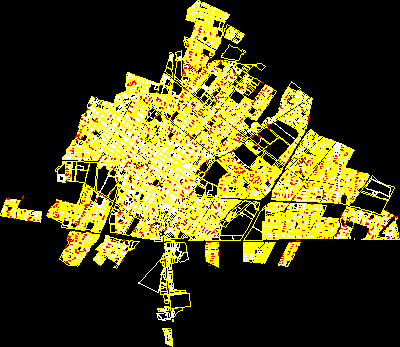
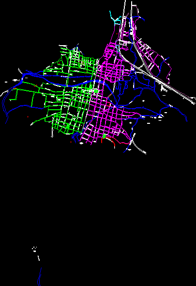
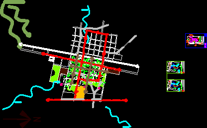
Map of the city of Tecamachalco

Map - streets - plots
- Format DWG
- File size 1.40 MB
Related Posts
Lion; guanajuato; Mexico
Cadastre Delegation Magdalena Contreras Delegation of the Federal District of Mexico
Urban development plan for the population center of Jesus Maria; jalisco; Mexico
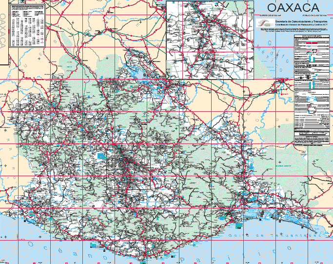
oaxaca map
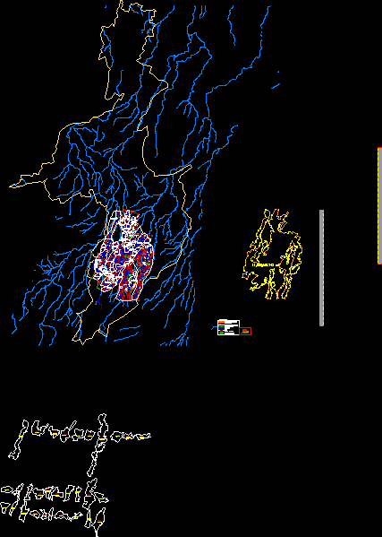
Cadastral map of Colima
It is the plan of the city of Tepic; nayarit
Teziutlan Puebla land uses
.png)
City of zapopan jalisco –
Plan of the small city of Arandas in Jalisco
Map of Santa Maria del Rio; slp; Mexico
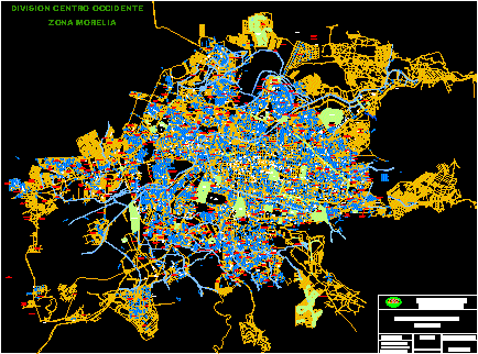
Morelia fully updated
Plan of the cd. from campeche
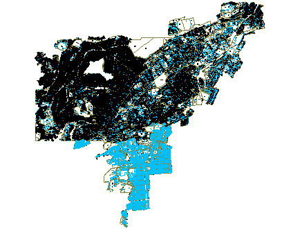
Municipality of San Antonino Castillo de Velasco
map of the state of aguascalientes
samalayuca map

oaxaca state map
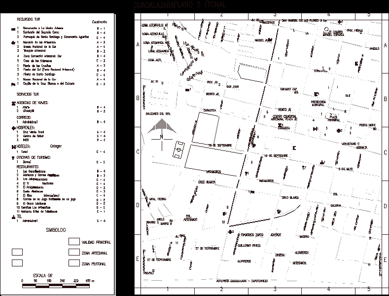
Guadalajara-tonala-jalisco
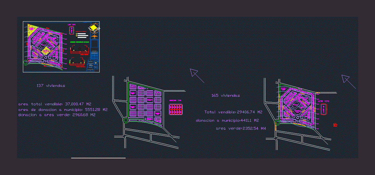
Lotification of a subdivision
xochimilco map
