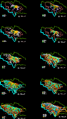
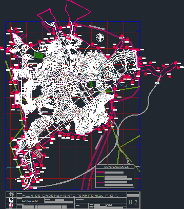
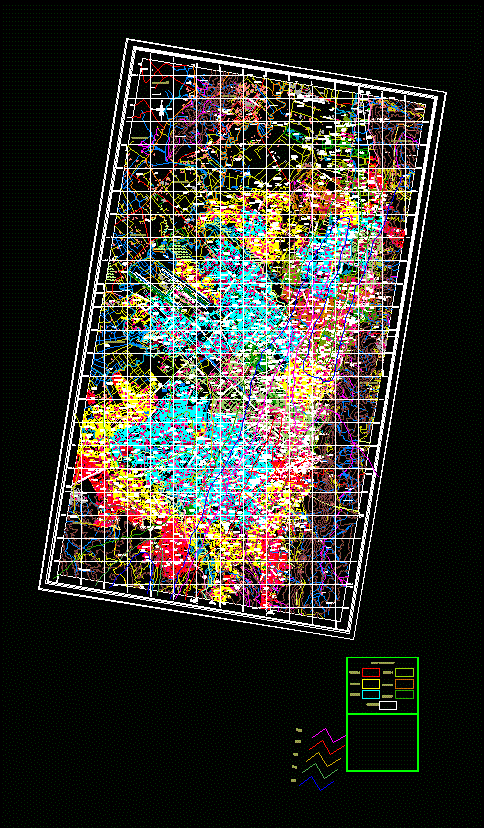
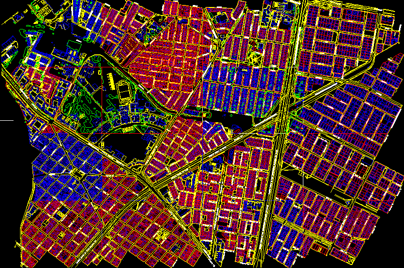
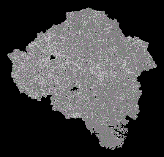
Fusagasuga map – rural and urban

Fusagasuga map - rural and urban - territorial ordering (pot)
- Format DWG
- File size 0.00 KB
Related Posts
High voltage electrical strip protection
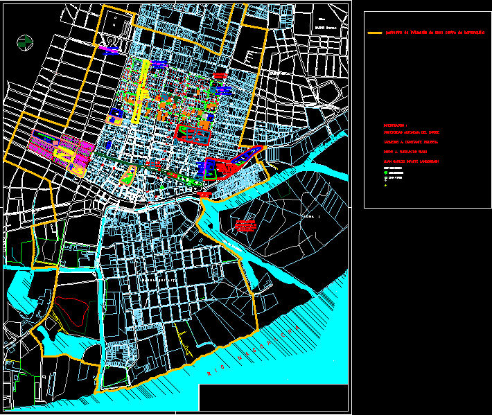
colombian barranquilla
Map of Bogota Colombia
.png)
Bogotá National Park

Proa 94 magazine – promotion of affordable housing – November 1955
Bogota
Urban reform project b united sector 13 bogota
San Gil base map
Caldas
Military school map
Barranquilla city landmarks plans

Political map of Caqueta- Colombia
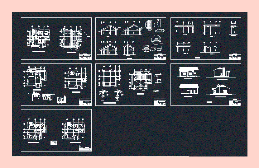
Single-family country house of social interest
.png)
Pedestrian bridge attached to the bridge over the airport vial
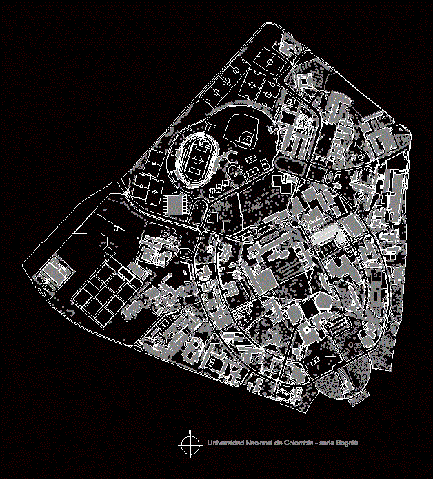
National University of Colombia map
rural properties
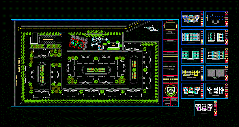
conjunto residencial

Puerto boyaca urban base – boyaca paragraph
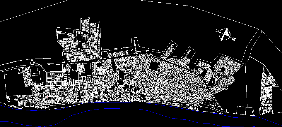
Map of Monpox (Bolivar – Colombia)