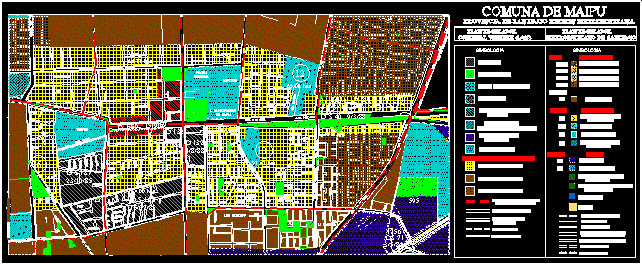
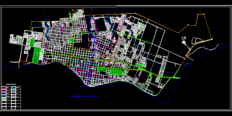
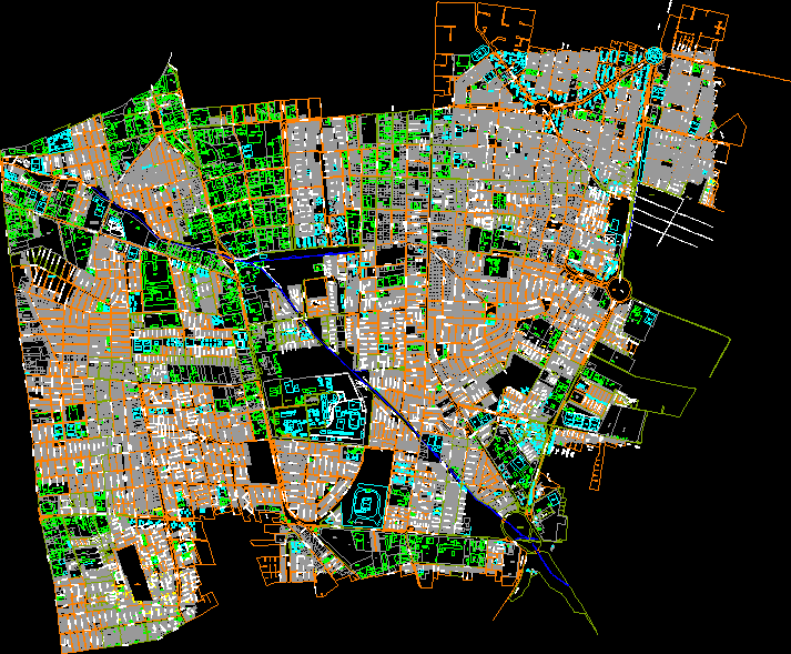
Municipality baneches it

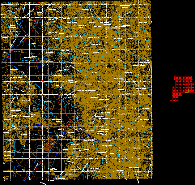
Aerial photogrammetric survey - divided by sheets
- Format DWG
- File size 10.42 MB
Related Posts
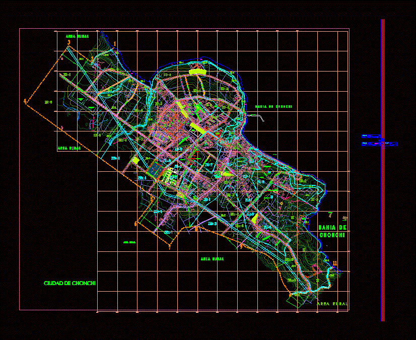
chonchi plane
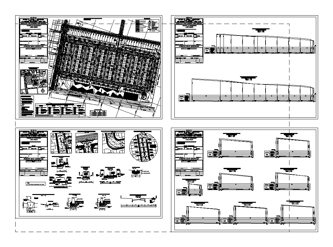
Paving and rainwater project
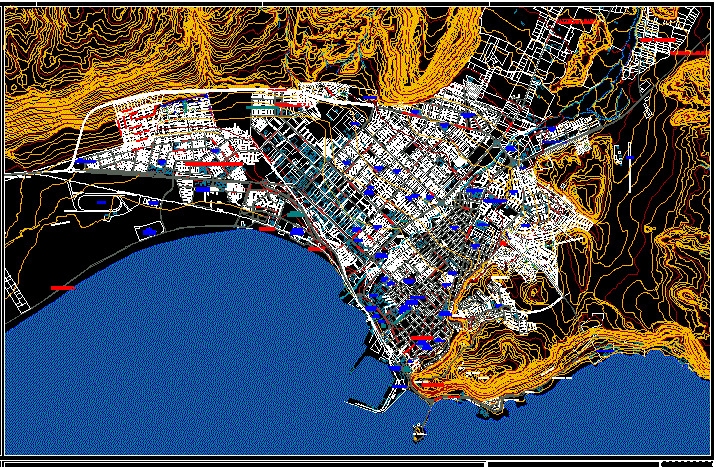
Arica urban plan
Arica and Parinacota regional map
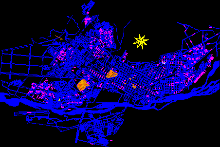
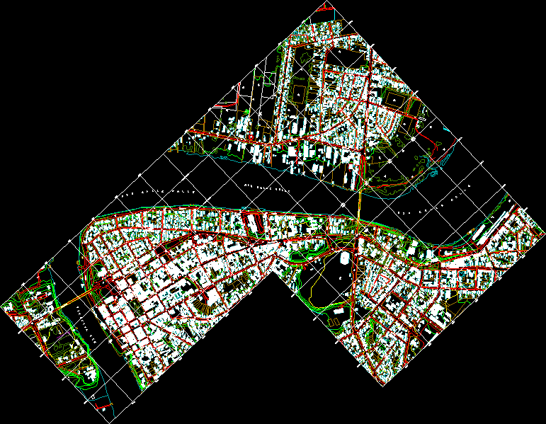
map of temuco
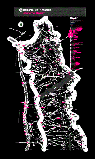
hill topographic map
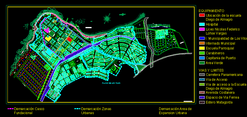
Plane of the vilos; chili
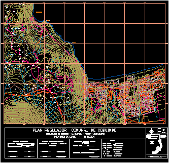
recoleta commune
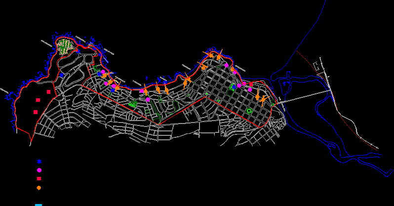
withcon viewpoints
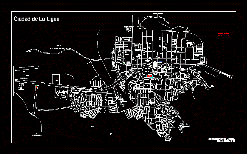
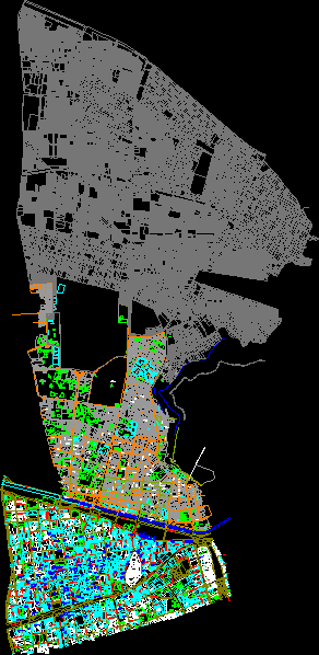
the garter
ucn title project - recovery of pedestrian promenade and el cable beach
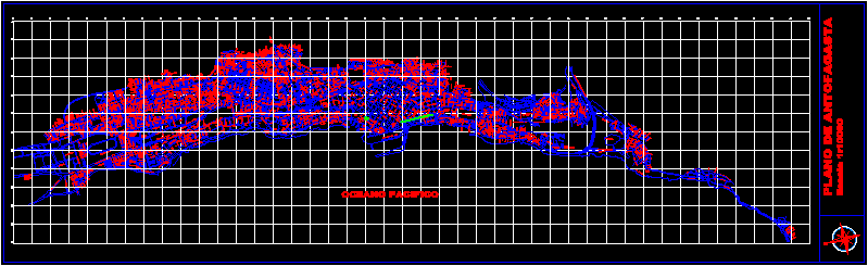
Antofagasta
Map of the spa of La Serena -Chile
Valdivia historic center
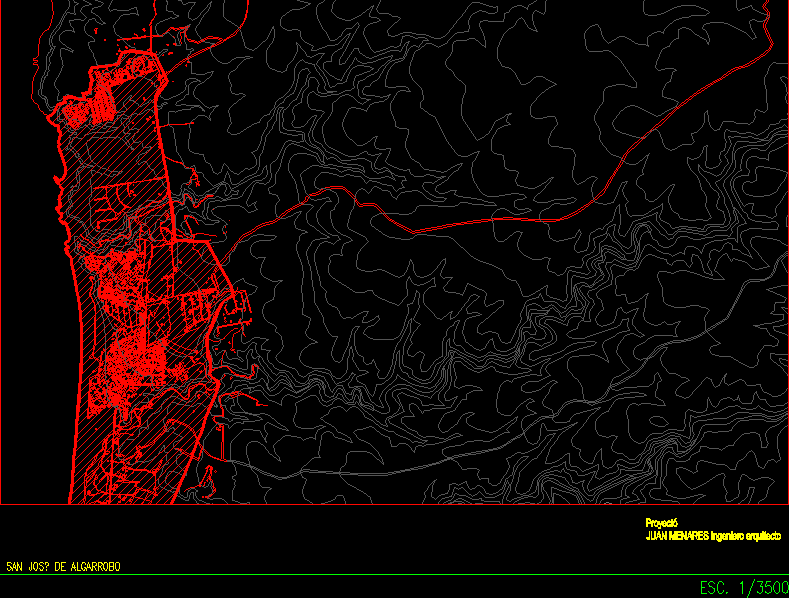
San Jose de Algarrobo
Punta Arenas map

Chilean metropolitan region
Communes of Macul and San Juaquin –

Peualolen Commune Regulatory Plan