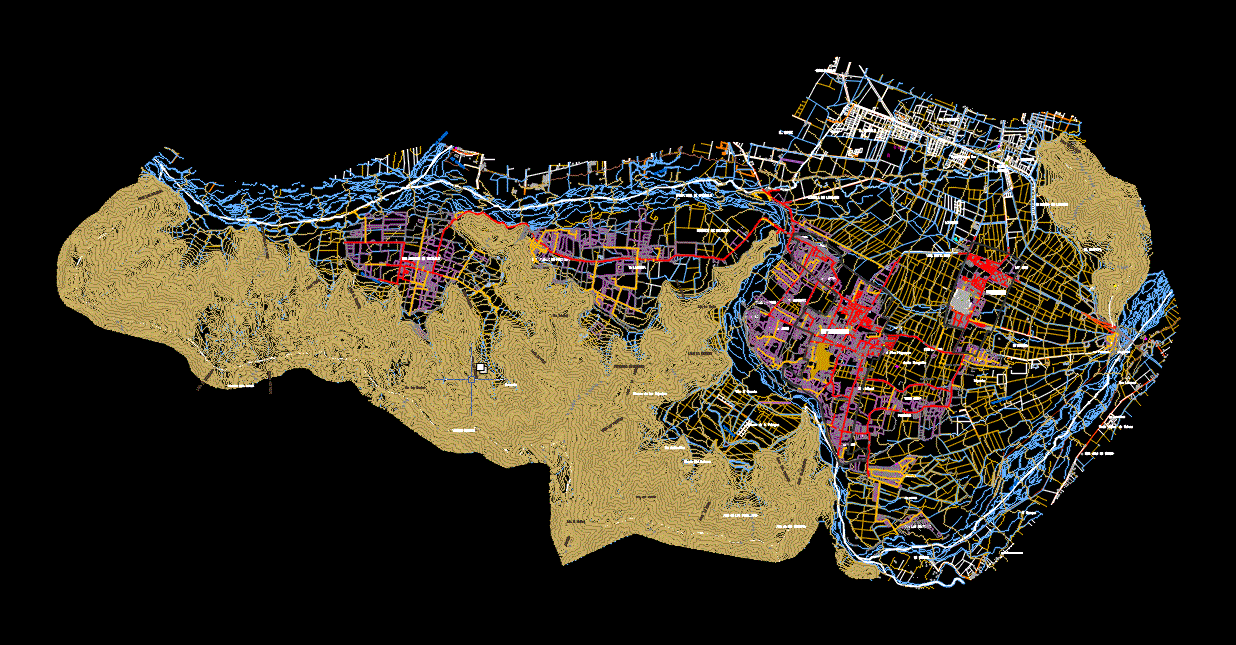
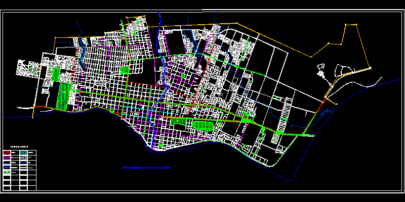
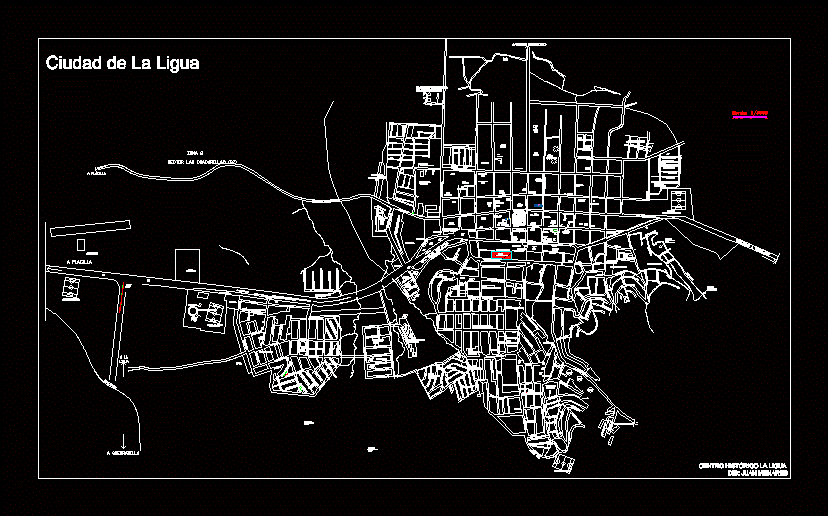
lo mendez aerophotogrammetric

aerial photogrammetric survey
- Format DWG
- File size 7.01 MB
Related Posts

Futaleufu; lake region
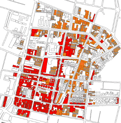
Board of Trustees – analysis by bmp layers
Intermodal tank; around
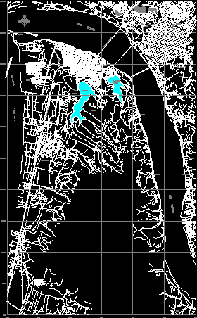
map of arica
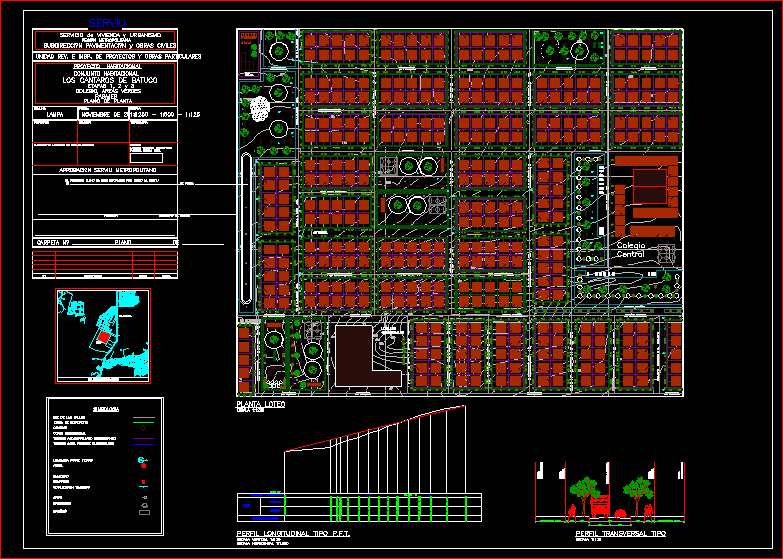
community project
Maipo island map
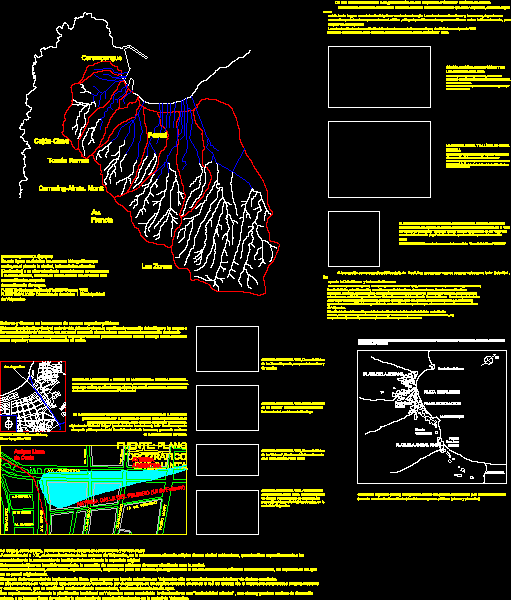
Hydrographic map of Valparaiso
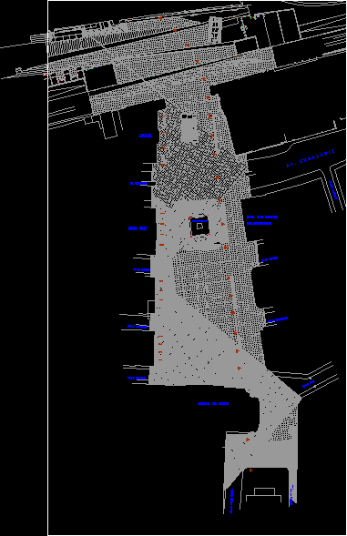
Sotomayor Square – Valparaiso; chili
Punta Arenas map
Yumbel plane; chili
Hualpin
hornopiren map
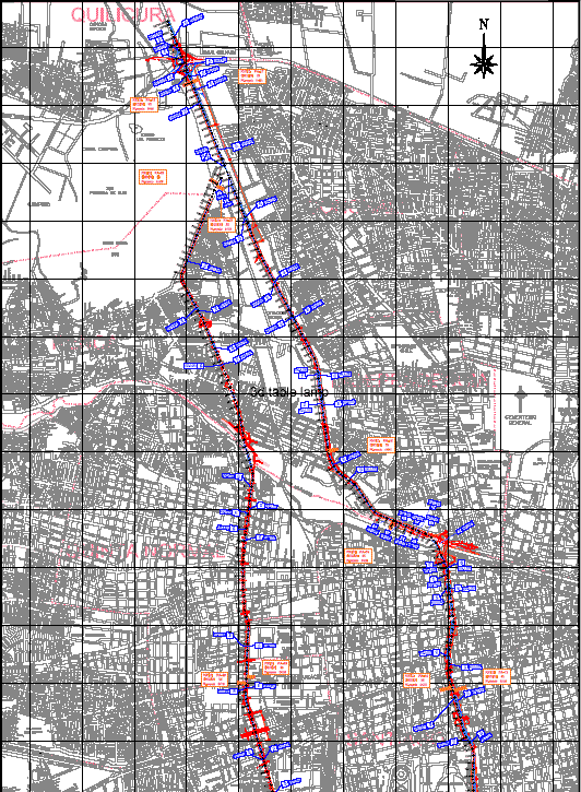
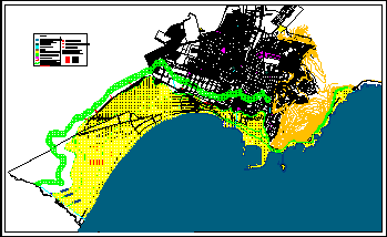
Central Highway; Santiago; chili
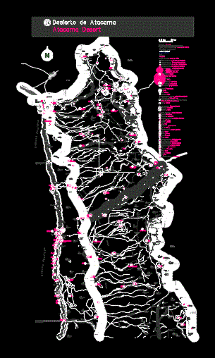
Arica and Parinacota regional map
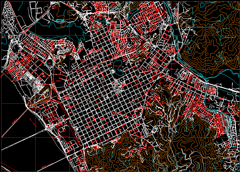
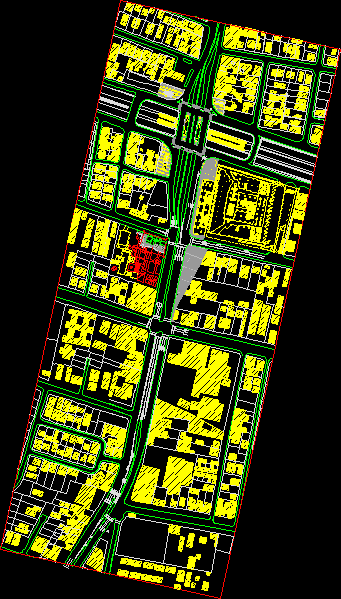
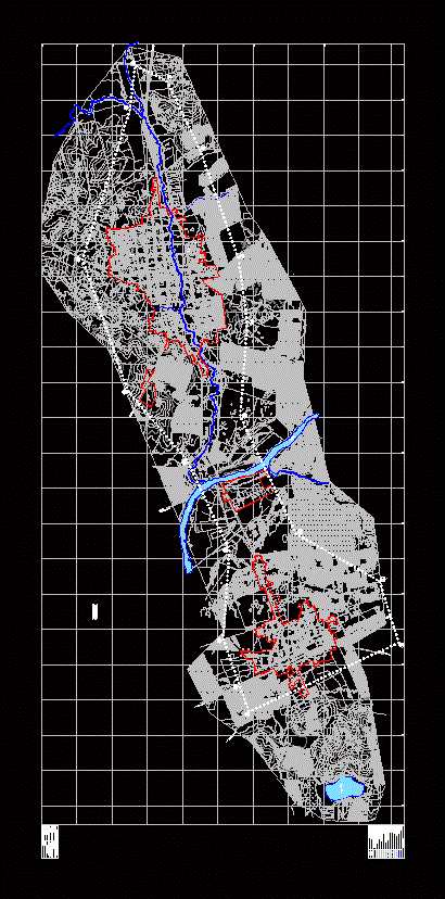
Concepcion – Chile Regulatory Plan
urban plans

Chilean metropolitan region
the garter
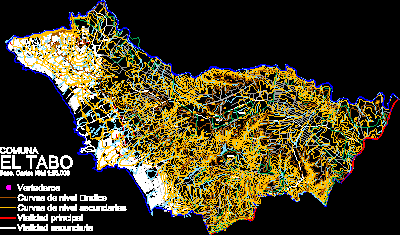
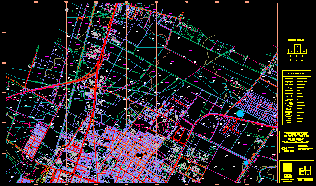
Map of the commune of Tabo, fifth region, Chile