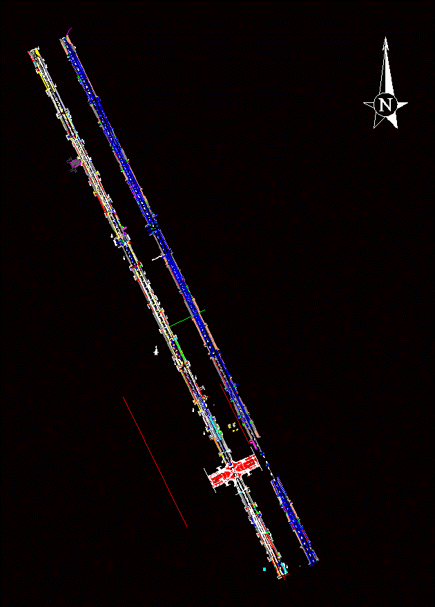
manizales cartography

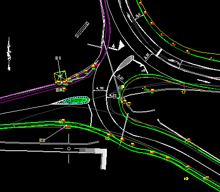
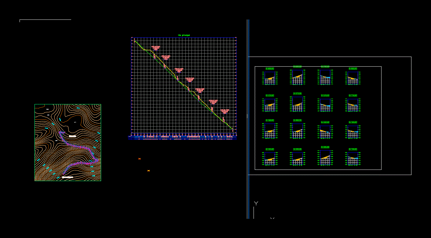
Cartography of the municipality of Manizales in Colombia; contains main contour lines every 10 meters and secondary contour lines every 2 m. It also has a projected road with its horizontal alignment; vertical and cants.
- Format DWG
- File size 948.21 KB
Related Posts
Road fetalle in a housing project
Road signs

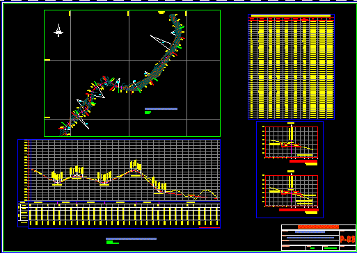
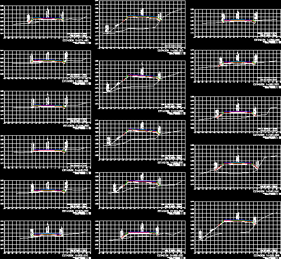
Rural street topography – longitudinal profile
Batangrande – Mayascong Highway
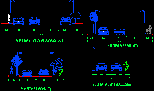
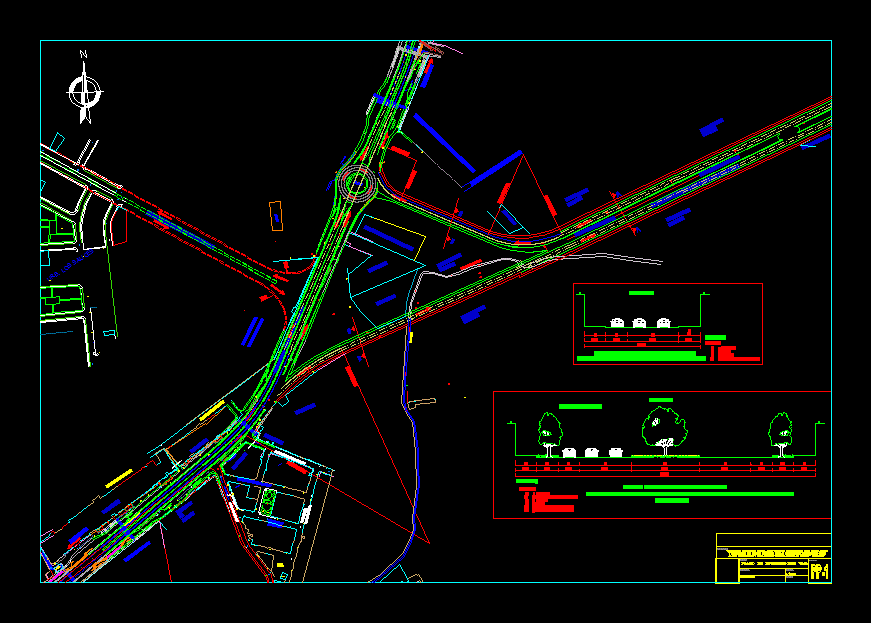
street sections
Turrialba Siquirres Corridor
canchachal road
.png)
template roads
Complete model carriage track
Access to subdivision

Geometry highway and roads

Traffic signal - road sign bmp

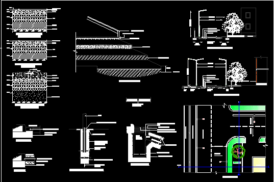
Road section in construction detail

Catalog of overpass work concepts
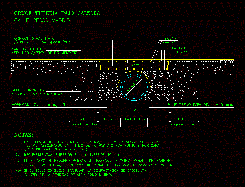
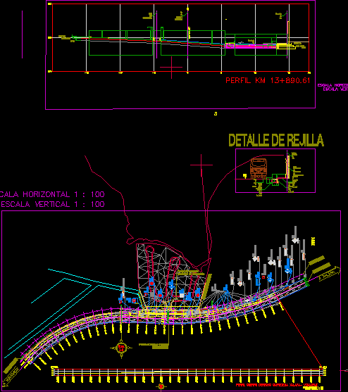
Crossing detail pipe under roadway
road constructions

Street paving.
Asphalt folder sections
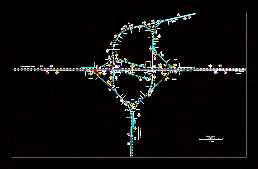
Chiclayo oval – pepper