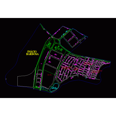
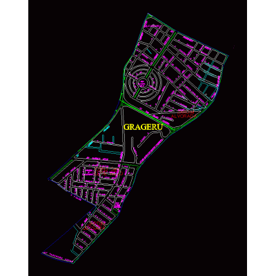
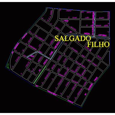
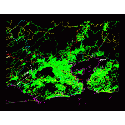
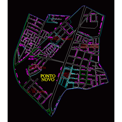
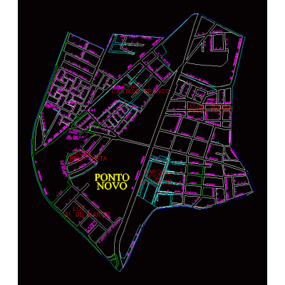
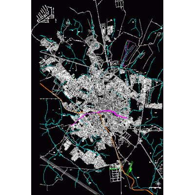
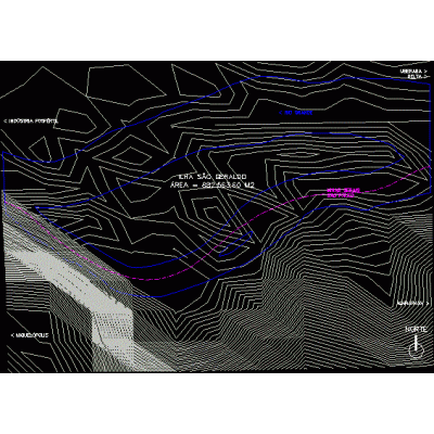
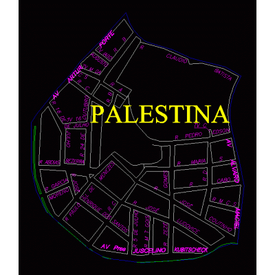
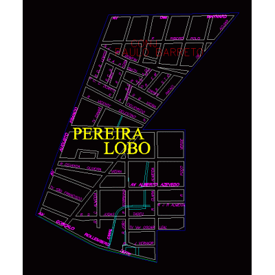
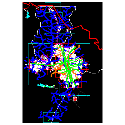
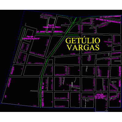
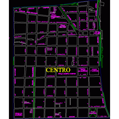
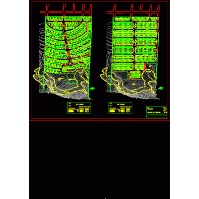
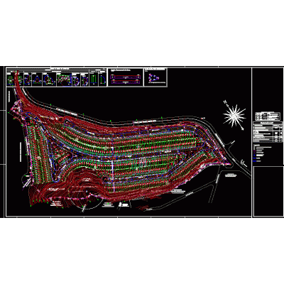
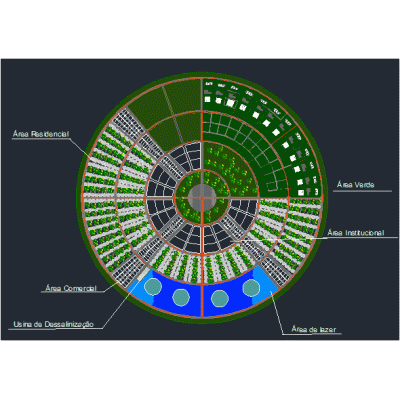
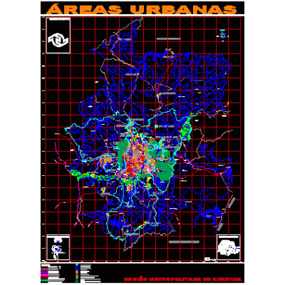
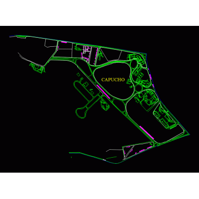
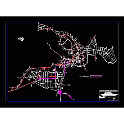
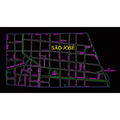
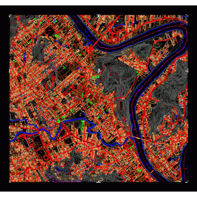
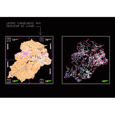
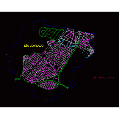
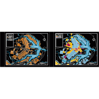
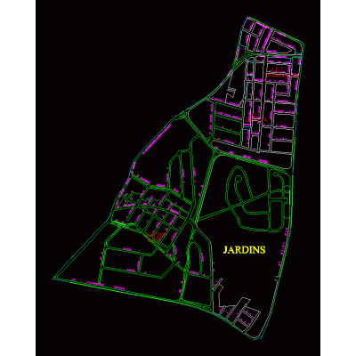
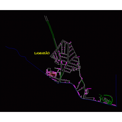
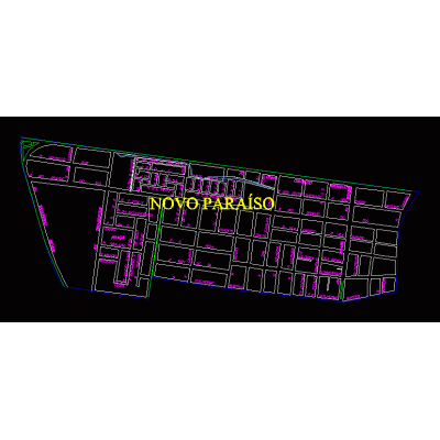
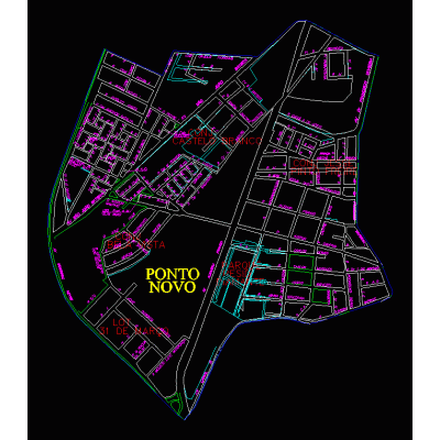
They are used to produce topographic maps to better capture the unevenness of a terrain. when a terrain presents a great distance between the contour lines, this represents a slight unevenness of the terrain. a smaller distance between them will represent a greater gap in the studied area. autocad.
-
Format
DWG
-
File size
35.95 MB
-